Near Gloucester Point in Gloucester County, Virginia — The American South (Mid-Atlantic)
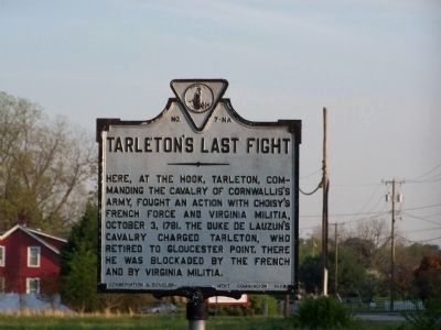
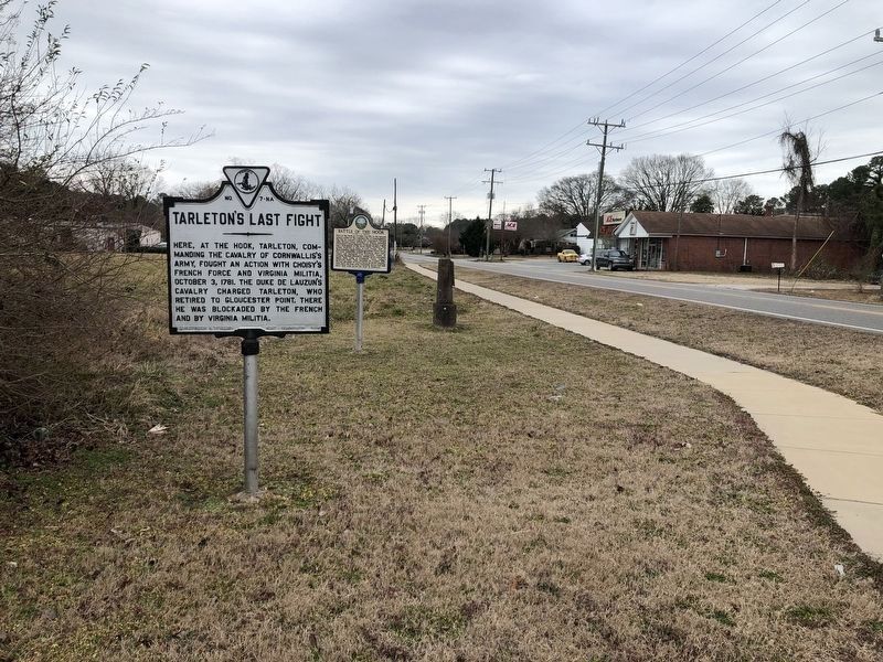
Tarleton's Last Fight
Erected 1928 by Conservation Development Commission. (Marker Number 7-NA.)
Topics and series. This historical marker is listed in this topic list: War, US Revolutionary. In addition, it is included in the Virginia Department of Historic Resources (DHR) series list. A significant historical date for this entry is October 3, 1878.
Location. 37° 16.551′ N, 76° 30.171′ W. Marker is near Gloucester Point, Virginia, in Gloucester County. Marker is at the intersection of Hayes Road and Hook Road, on the left when traveling south on Hayes Road. Touch for map. Marker is at or near this postal address: 2408 Hayes Rd, Gloucester Point VA 23062, United States of America. Touch for directions.
Other nearby markers. At least 8 other markers are within 2 miles of this marker, measured as the crow flies. "The Hook" (a few steps from this marker); Battle of the Hook (within shouting distance of this marker); The Irene Morgan Story Begins (within shouting distance of this marker); 1953 Benthall Peanut Picker (approx. 0.9 miles away); 1920's Farm Equipment (approx. 0.9 miles away); Gloucester Point Chapel (approx. one mile away); The British Safety Valve (approx. 1.8 miles away); On to Richmond! (approx. 1.8 miles away). Touch for a list and map of all markers in Gloucester Point.
Credits. This page was last revised on June 28, 2021. It was originally submitted on May 4, 2008, by Bill Pfingsten of Bel Air, Maryland. This page has been viewed 1,251 times since then and 29 times this year. Photos: 1. submitted on May 4, 2008, by Bill Pfingsten of Bel Air, Maryland. 2. submitted on March 1, 2021, by Devry Becker Jones of Washington, District of Columbia.

