Pembroke in Genesee County, New York — The American Northeast (Mid-Atlantic)
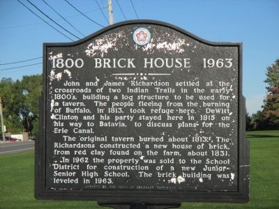
1800 Brick House 1963
The original tavern burned about 1813. The Richardsons constructed a new house of brick, from red clay they found on the farm, about 1831.
In 1962 the property was sold to the School District for the construction of a new Junior Senior High School. The brick building was leveled in 1963.
Erected by Town of Pembroke Historical Committee.
Topics. This historical marker is listed in these topic lists: Settlements & Settlers • War of 1812. A significant historical year for this entry is 1800.
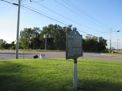
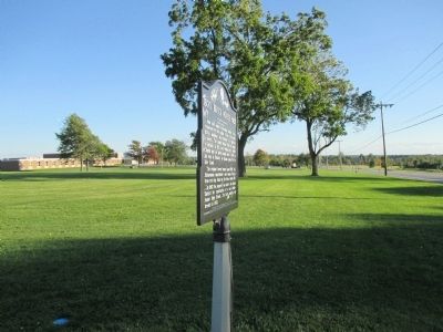
Location. 42° 59.571′ N, 78° 24.345′ W. Marker is in Pembroke, New York, in Genesee County. Marker is at the intersection of Main Road (New York State Route 5) and Allegheny Road (New York State Route 77), on the right when traveling east on Main Road. Touch for map. Marker is in this post office area: Corfu NY 14036, United States of America. Touch for directions.
Other nearby markers. At least 8 other markers are within 4 miles of this marker , measured as the crow flies. Town of Pembroke (about 400 feet away, measured in a direct line); Old Buffalo Road Cemetery (approx. ¾ mile away); Site of First Permanent Settlement (approx. 1.6 miles away); First United Presbyterian Church (approx. 2.2 miles away); General Ely Samuel Parker 1828-1895 (approx. 2.2 miles away); Morrot's Boulder Amusement Park (approx. 2.4 miles away); Schafer Farms (approx. 2.9 miles away); Dennis E. Nolan (approx. 3.9 miles away). Touch for a list and map of all markers in Pembroke.

Photographed By Anton Schwarzmueller, September 21, 2014
2. 1800 Brick House 1963 Marker
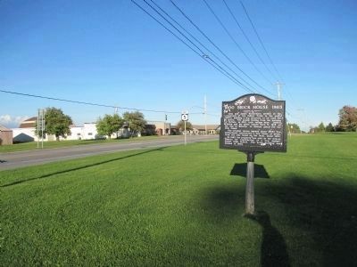
Eastward on NY 5. Zoom in and the Pembroke Town Offices building is in the distance, seen to the left of the post for the East NY 5 sign. The Town of Pembroke marker, in front of the town offices, appears along the NY 5 signpost, right side.
Credits. This page was last revised on June 16, 2016. It was originally submitted on October 6, 2014, by Anton Schwarzmueller of Wilson, New York. This page has been viewed 737 times since then and 60 times this year. Last updated on October 8, 2014, by Anton Schwarzmueller of Wilson, New York. Photos: 1, 2, 3, 4. submitted on October 6, 2014, by Anton Schwarzmueller of Wilson, New York. • Bill Pfingsten was the editor who published this page.


