South Bound Brook in Somerset County, New Jersey — The American Northeast (Mid-Atlantic)
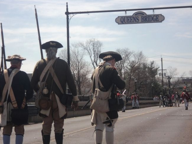
Queen’s Bridge
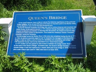
During the American revolution this bridge was used at various times by both American and British armies. At this spot on January 4, 1777, General George Washington made the final decision to abandon any intention of attacking New Brunswick. He instead moved his army northward to winter quarters at Morristown. Thus ended the victorious Trenton-Princeton campaign, saving the revolution.
The first bridge across the Raritan River in this area was completed during the fall of 1761. In 1762, the general assembly paged an act “to empower the managers of the Bound Brook Bridge to raise by lottery a sum of money for rebuilding and completing said bridge”. The 1767 Somerset County road survey described it as a “wood frame bridge”.
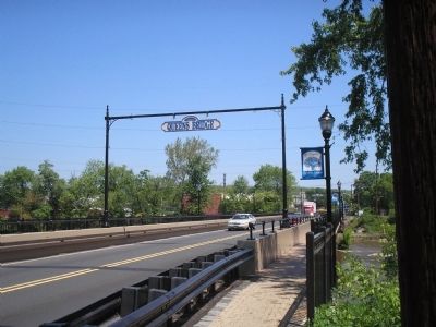
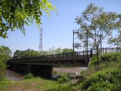
In 1771 another act was passed to raise funds to maintain the bridge herein “known by the name of the Queen’s Bridge”. Sometime later, the Queen’s Bridge became a covered wooden bridge. It was next replaced by a classic steel pipe truss bridge in 1875. The stone piers under today’s span (built in 1984) date back to at least 1875.
Topics. This historical marker is listed in these topic lists: Bridges & Viaducts • Notable Places • War, US Revolutionary. A significant historical month for this entry is January 1740.
Location. 40° 33.54′ N, 74° 31.676′ W. Marker is in South Bound Brook, New Jersey, in Somerset County. Marker is on Main Street, on the right when traveling north. Touch for map. Marker is in this post office area: South Bound Brook NJ 08880, United States of America. Touch for directions.
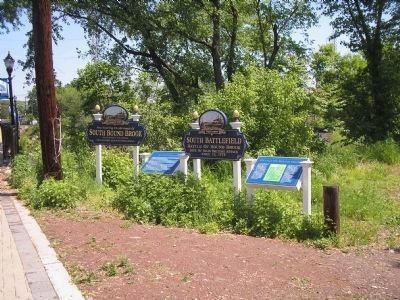
Other nearby markers. At least 8 other markers are within walking distance of this marker. Battle of Bound Brook (here, next to this marker); Old Stone Bridge (about 600 feet away, measured in a direct line); a different marker also named Battle of Bound Brook (about 600 feet away); Delaware & Raritan Canal State Park (about 800 feet away); Locks on the D&R Canal (about 800 feet away); Van Horn Plaza (approx. 0.2 miles away); The Frelinghuysen Tavern (approx. ¼ mile away); Bound Brook World War I Memorial (approx. 0.3 miles away). Touch for a list and map of all markers in South Bound Brook.
Also see . . . The Battle of Bound Brook. (Submitted on May 19, 2008, by Bill Coughlin of Woodland Park, New Jersey.)
Credits. This page was last revised on June 16, 2016. It was originally submitted on May 19, 2008, by Bill Coughlin of Woodland Park, New Jersey. This page has been viewed 1,729 times since then and 64 times this year. Photos: 1, 2, 3, 4. submitted on May 19, 2008, by Bill Coughlin of Woodland Park, New Jersey. 5. submitted on April 12, 2014, by Bill Coughlin of Woodland Park, New Jersey.
