Wisconsin Dells in Columbia County, Wisconsin — The American Midwest (Great Lakes)
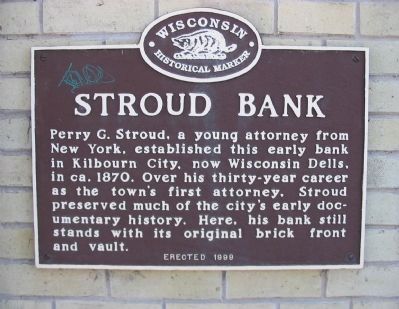
Stroud Bank
Erected 1999 by the Wisconsin Historical Society. (Marker Number 447.)
Topics and series. This historical marker is listed in these topic lists: Industry & Commerce • Settlements & Settlers. In addition, it is included in the Wisconsin Historical Society series list. A significant historical year for this entry is 1870.
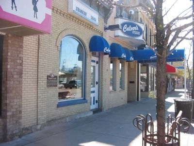
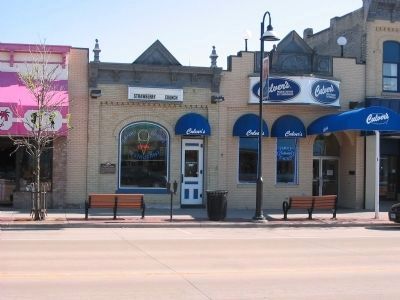
Location. 43° 37.636′ N, 89° 46.384′ W. Marker is in Wisconsin Dells, Wisconsin, in Columbia County. Marker is on Broadway Street (State Highway 16/23) east of Oak Street, on the right when traveling east. Marker is outside of Culver's restaurant. Touch for map. Marker is at or near this postal address: 312 Broadway Street, Wisconsin Dells WI 53965, United States of America. Touch for directions.
Other nearby markers. At least 8 other markers are within walking distance of this marker. H. H. Bennett Studio (about 400 feet away, measured in a direct line); Hero of the Red River (about 500 feet away); Bailey's Landing (about 700 feet away); Alexander Mitchell Steamboat Anchor (approx. 0.2 miles away); The Wisconsin River (approx. 0.2 miles away); Bailey’s Eddy – Municipal Dock (approx. 0.2 miles away); Henry Hamilton Bennett (approx. 0.2 miles away); The Kilbourn Dam (approx. 0.2 miles away). Touch for a list and map of all markers in Wisconsin Dells.
Credits. This page was last revised on December 28, 2019. It was originally submitted on May 21, 2008, by Keith L of Wisconsin Rapids, Wisconsin. This page has been viewed 1,857 times since then and 52 times this year. Photos: 1, 2, 3. submitted on May 21, 2008, by Keith L of Wisconsin Rapids, Wisconsin. • J. J. Prats was the editor who published this page.


