Laurel in Prince George's County, Maryland — The American Northeast (Mid-Atlantic)
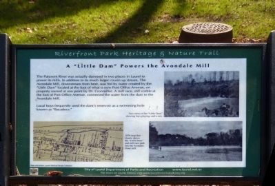
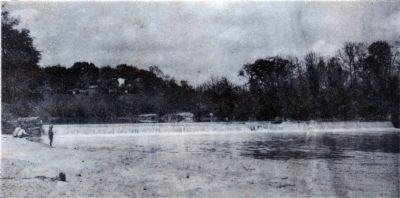
A “Little Dam” Powers the Avondale Mill
Riverfront Park Heritage & Nature Trail
Inscription.
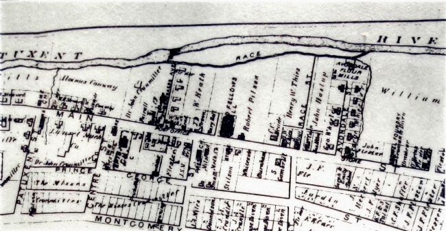
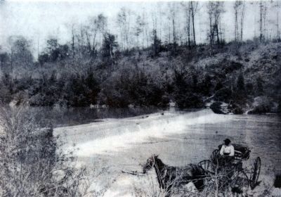
The Patuxent River was actually dammed in two places in Laurel to power its mills. In addition to its much larger cousin up stream, The Avondale Mill, downstream from here, was fed by water created by the “Little Dam” located at the foot of what is now Post Office Avenue, on property owned by at one point by Dr. Cronmiller. A mill race, still visible at the foot of Post Office Avenue, connected the water from the dam to Avondale Mill.
Local boys frequently used the dam's reservoir as a swimming hole known as “Bacadocs.”
Topics. This historical marker is listed in this topic list: Industry & Commerce.
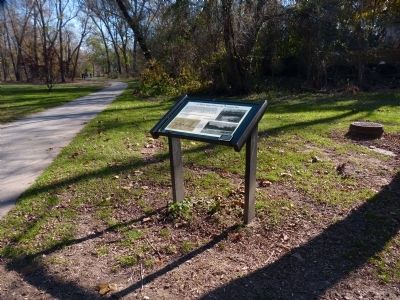
Location. 39° 6.526′ N, 76° 50.994′ W. Marker is in Laurel, Maryland, in Prince George's County. On the Riverfront Trail below the end of Post Office Avenue. Touch for map. Marker is at or near this postal address: 18 Post Office Avenue, Laurel MD 20707, United States of America. Touch for directions.
Other nearby markers. At least 8 other markers are within walking distance of this marker. St. Philip's Episcopal Church (about 700 feet away, measured in a direct line); An Angel Among US (about 800 feet away); First United Methodist Church of Laurel (approx. 0.2 miles away); Patuxent River (approx. 0.2 miles away); Riverfront Park (approx. ¼ mile away); Avondale Mill: A Lost Treasure (approx. ¼ mile away); Avondale Mill (approx. ¼ mile away); Site of Laurel's Civil War Hospital (approx. ¼ mile away). Touch for a list and map of all markers in Laurel.
Credits. This page was last revised on June 16, 2016. It was originally submitted on November 29, 2014, by Allen C. Browne of Silver Spring, Maryland. This page has been viewed 361 times since then and 27 times this year. Photos: 1, 2, 3, 4, 5, 6. submitted on November 29, 2014, by Allen C. Browne of Silver Spring, Maryland. • Bill Pfingsten was the editor who published this page.
