Abilene in Taylor County, Texas — The American South (West South Central)
Taylor County
Inscription.
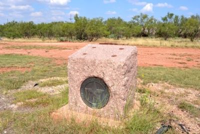
(Inscription plate with text is missing)
Erected 1936 by Texas Highway Department. (Marker Number 5207.)
Topics and series. This historical marker is listed in this topic list: Settlements & Settlers. In addition, it is included in the Texas 1936 Centennial Markers and Monuments series list.
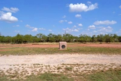
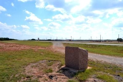
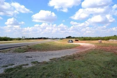
Location. Marker is missing. It was located near 32° 27.329′ N, 99° 49.872′ W. Marker was in Abilene, Texas, in Taylor County. Marker could be reached from U.S. 84, 0.7 miles west of Fulwiler Road, on the right when traveling west. Marker is located at a pullout from the westbound lanes of the divided highway US 84. Marker can only be accessed from the westbound lanes of US 84. Touch for map. Marker was in this post office area: Abilene TX 79603, United States of America. Touch for directions.
Other nearby markers. At least 8 other markers are within 3 miles of this location, measured as the crow flies. Lt. Col. William E. Dyess (approx. 1.6 miles away); 7th Bombardment Wing, Heavy (approx. 1.8 miles away); Air Force Medal of Honor Recipients (approx. 1.8 miles away); 12th Armored Division at Camp Barkeley (approx. 1.9 miles away); 12th Armored Division Memorial (approx. 1.9 miles away); Dyess Elementary School (approx. 2.9 miles away); Butterfield Mail and Stage Line (approx. 2.9 miles away); Butterfield Trail (approx. 2.9 miles away). Touch for a list and map of all markers in Abilene.
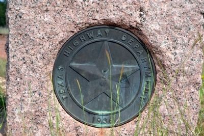
More about this marker. The marker is a Texas Centennial highway marker. The inscription tablet on top of the marker is missing. The pink granite stone base and the Texas Highway Department star medallion still remain.
Credits. This page was last revised on June 16, 2016. It was originally submitted on December 11, 2014, by Duane Hall of Abilene, Texas. This page has been viewed 530 times since then and 18 times this year. Photos: 1, 2, 3, 4, 5, 6. submitted on December 11, 2014, by Duane Hall of Abilene, Texas.

