Cuilapa, Santa Rosa, Guatemala — Central America
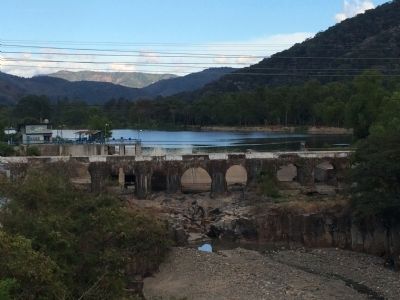
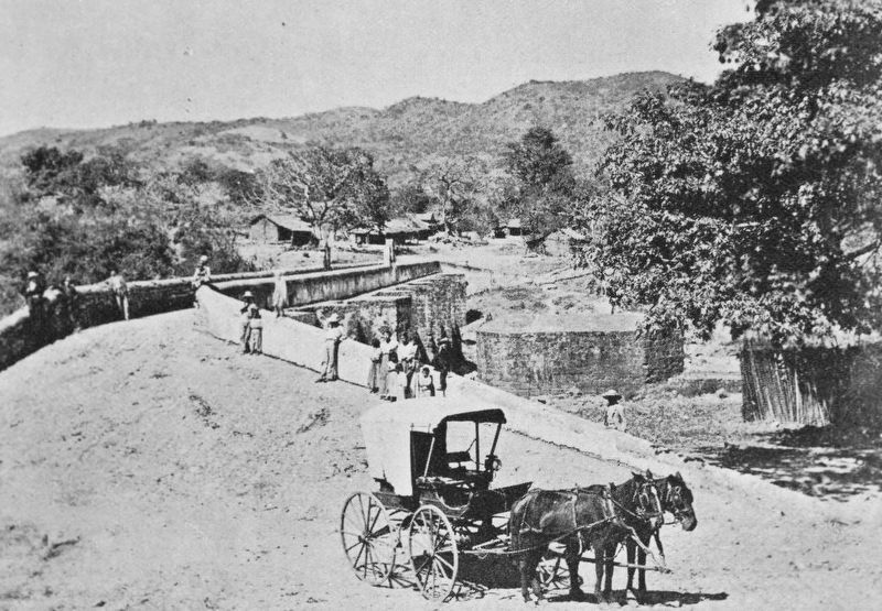
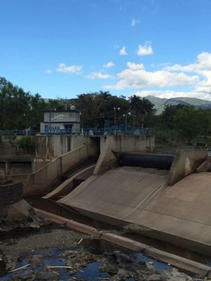
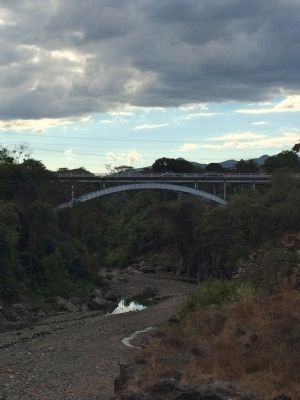
Los Esclavos Bridge
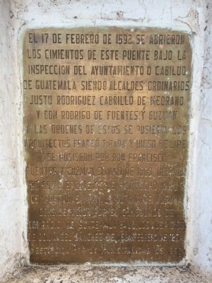
El 17 de febrero de 1592 se abrieron
Los cimientos de este puente bajo la
Inspección del Ayuntamiento o Cabildo
De Guatemala siendo Alcaldes Ordinarios
Justo Rodríguez Cabrillo de Medrano
Y Don Rodrigo de Fuentes y Guzmán.
A las órdenes de estos se pusieron los
Arquitectos Franco Tirado y Diego Felipe.
Se pusieron por Don Francisco
Fuentes y Guzmán el Año de 1600. Después
De estas épocas se le han hecho varias
Composturas y hoy la última de alguna
Consideración por el Consulado de
Comercio de Guatemala bajo los auspicios
De Don Ángel Sánchez de León, Febrero de 1854
Restituida por la Municipalidad de 1957
Construction began on this bridge on February 17, 1592 by the Government of Guatemala under the Mayors Justo Rodríguez Cabrillo de Medrano. and Rodrigo de Fuentes y Guzmán. The architects were Franco Tirado and Diego Felipe. It was finished in 1600 by Francisco Fuentes y Guzmán. Since then it has been repaired numerous times, with the most serious repair done by the Commerce Commission under the direction of Ángel Sánchez de León in February 1854. It was restored again by the Municipality in 1957.
Topics. This historical marker is listed in this topic list: Bridges & Viaducts. A significant historical month for this entry is February 1880.
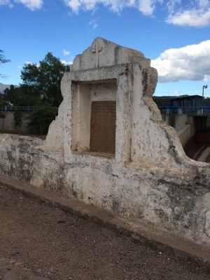
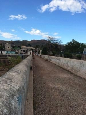
Location. 14° 15.213′ N, 90° 16.633′ W. Marker is in Cuilapa, Santa Rosa. The marker is half-way across the bridge, close to Kilometer 66.5 on the Inter-American Highway near Cuilapa, Santa Rosa. Touch for map. Marker is in this post office area: Cuilapa, Santa Rosa 06001, Guatemala. Touch for directions.
Other nearby markers. At least 2 other markers are within 5 kilometers of this marker, measured as the crow flies. Mayan Compacting Stone (approx. 3.4 kilometers away); First Ordination of a Priest in Cuilapa Cathedral (approx. 3.7 kilometers away).
Also see . . . 1946 Pan-American Highway to El Salvador - Guatemala. Excerpt from Thayer Soule's travelogue, "The Road to Panama", archived in the Human Studies Film Archives, Smithsonian Institution. The clip shows about 12 seconds worth of the bridge (0:38-0:52), and includes a shot of the marker. Or rather, an earlier version of the marker, as the wording would appear to be the same, but the marker seems to be made of marble. (Submitted on January 22, 2015.)
Photographed By J. Makali Bruton, January 18, 2015
6. Los Esclavos Bridge additional marker
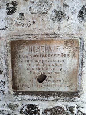
This additional marker at the west end of the bridge reads (translated to English): Tribute from the Santa Rosa people in commemoration of 400 years since the beginning of the construction of Los Esclavos Bridge, February 17, 1592 - February 17, 1992.
Credits. This page was last revised on January 19, 2019. It was originally submitted on January 22, 2015, by J. Makali Bruton of Accra, Ghana. This page has been viewed 647 times since then and 26 times this year. Photos: 1, 2, 3, 4. submitted on January 22, 2015, by J. Makali Bruton of Accra, Ghana. 5. submitted on January 19, 2019, by J. Makali Bruton of Accra, Ghana. 6, 7, 8. submitted on January 22, 2015, by J. Makali Bruton of Accra, Ghana. • Andrew Ruppenstein was the editor who published this page.
