Wisconsin Dells in Columbia County, Wisconsin — The American Midwest (Great Lakes)
Kilbourn City
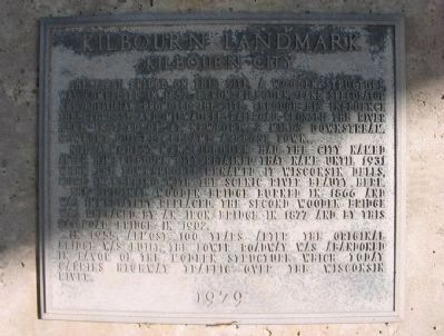
Kilbourn Landmark
Not a modest man, Kilbourn had the city named after him. Kilbourn City retained that name until 1931 when the townspeople renamed it Wisconsin Dells, more in keeping with the scenic river beauty here.
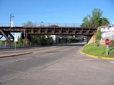
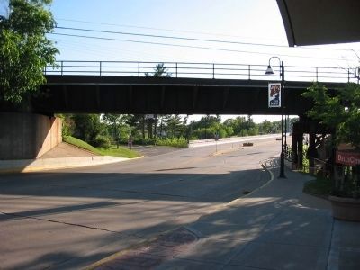
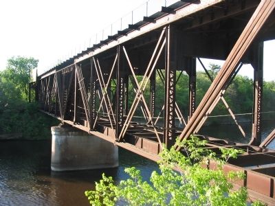
The original wooden bridge burned in 1866 and was immediately replaced. The second wooden bridge was replaced by an iron bridge in 1877 and by this railroad bridge in 1902.
In 1955, almost 100 years after the original bridge was built, the lower roadway was abandoned in favor of the modern structure which today carries highway traffic over the Wisconsin River.
Erected 1979.
Topics. This historical marker is listed in these topic lists: Bridges & Viaducts • Railroads & Streetcars • Settlements & Settlers. A significant historical year for this entry is 1857.
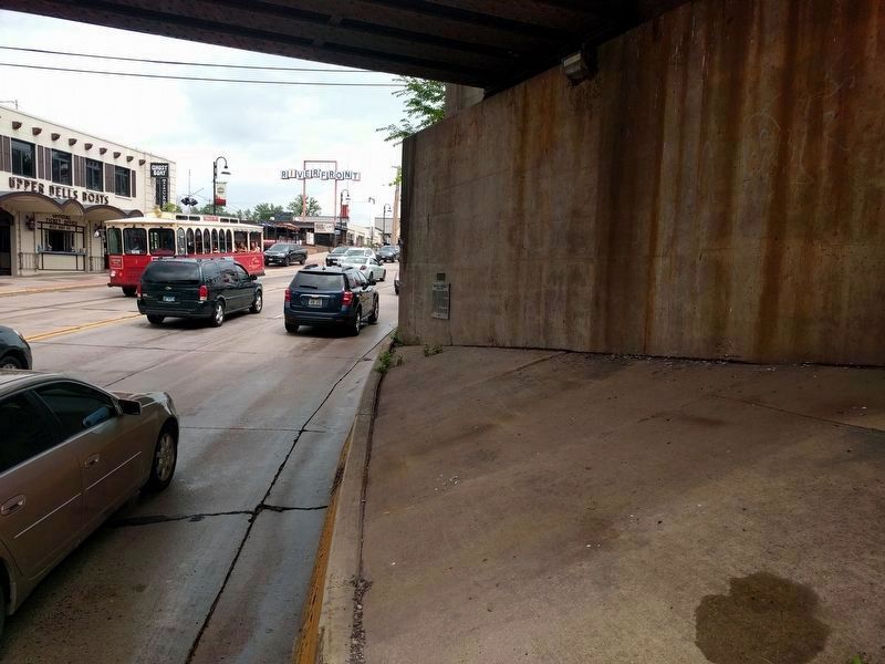
Location. 43° 37.66′ N, 89° 46.716′ W. Marker is in Wisconsin Dells, Wisconsin, in Columbia County. Marker is on Broadway Street (State Highway 16/23) east of Finnegan Avenue, on the right when traveling east. Marker is on the bridge abutment at the south side of the highway, west side of the bridge. Touch for map. Marker is in this post office area: Wisconsin Dells WI 53965, United States of America. Touch for directions.
Other nearby markers. At least 8 other markers are within walking distance of this marker. History of the Wisconsin Dells (about 300 feet away, measured in a direct line); Geology of the Wisconsin Dells (about 300 feet away); Bailey’s Eddy – Municipal Dock (about 300 feet away); Alexander Mitchell Steamboat Anchor (about 400 feet away); The Railroads (about 500 feet away); River Excursions (about 500 feet away); The Wisconsin River (about 600 feet away); The Kilbourn Dam (about 700 feet away). Touch for a list and map of all markers in Wisconsin Dells.
More about this marker. Marker cannot be viewed safely – the original sidewalk was removed to add a traffic lane.
Credits. This page was last revised on May 31, 2019. It was originally submitted on May 31, 2008, by Keith L of Wisconsin Rapids, Wisconsin. This page has been viewed 2,353 times since then and 53 times this year. Photos: 1, 2. submitted on May 31, 2008, by Keith L of Wisconsin Rapids, Wisconsin. 3. submitted on May 30, 2019, by Joel Seewald of Madison Heights, Michigan. 4, 5. submitted on May 31, 2008, by Keith L of Wisconsin Rapids, Wisconsin. • J. J. Prats was the editor who published this page.
