Bellefontaine in Logan County, Ohio — The American Midwest (Great Lakes)
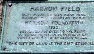
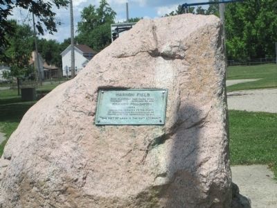
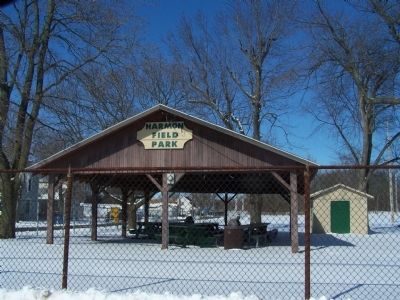
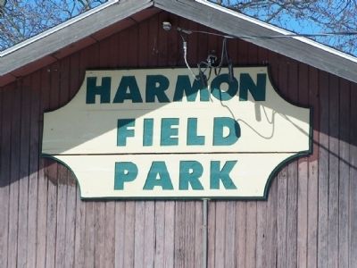
Harmon Field
Neighborhood Playground from National Philanthropist
— One of Many, Throughout the Nation —
Harmon Foundation
1923
dedicated forever to the plays of children, the development of youth, and the recreation of all
“The gift of land is the gift Eternal”
Erected 1923 by Harmon Foundation.
Topics. This historical marker is listed in this topic list: Charity & Public Work. A significant historical year for this entry is 1923.
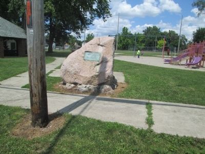
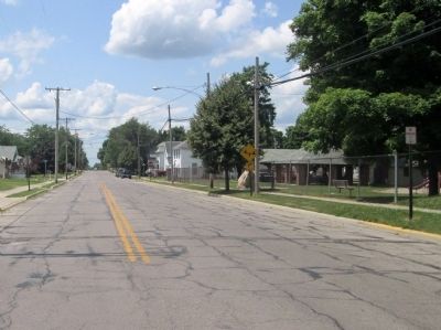
Location. 40° 21.728′ N, 83° 46.419′ W. Marker is in Bellefontaine, Ohio, in Logan County. Marker is on West Columbus Avenue, on the right when traveling west. marker is next to the Columbus Avenue sidewalk, on the south edge of the park. Touch for map. Marker is at or near this postal address: 920 W Columbus Ave, Bellefontaine OH 43311, United States of America. Touch for directions.
Other nearby markers. At least 8 other markers are within walking distance of this marker. Lewis R. Ratleff Park (approx. 0.3 miles away); Free Servicemen's Canteen, 1942-1946 (approx. half a mile away); The Railroad in Logan County (approx. 0.6 miles away); Powell Park, the Old Burial Ground (approx. 0.6 miles away); H.M. Annat Dry Goods & Montgomery Ward Store (approx. 0.6 miles away); The Cozy Picture Palace (approx. 0.6 miles away); The Gorges Building (approx. 0.6 miles away); The Historic Post Office of Bellefontaine (approx. 0.6 miles away). Touch for a list and map of all markers in Bellefontaine.
Credits. This page was last revised on June 16, 2016. It was originally submitted on February 23, 2015, by Rev. Ronald Irick of West Liberty, Ohio. This page has been viewed 720 times since then and 15 times this year. Photos: 1, 2, 3, 4, 5, 6. submitted on February 23, 2015, by Rev. Ronald Irick of West Liberty, Ohio. • Al Wolf was the editor who published this page.
