Vandenberg Space Force Base in Santa Barbara County, California — The American West (Pacific Coastal)
Space Launch Complex 10
Vandenberg Air Force Base
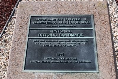
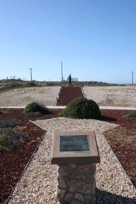
Space Launch Complex 10, Vandenberg Air Force Base, has been designated a National Historic Landmark. This site possesses national significance in commemorating the history of the United States of America. 1986 - National Park Service - United States Department of the Interior.
Erected 1986 by National Park Service - United States Department of the Interior.
Topics and series. This historical marker is listed in this topic list: Air & Space. In addition, it is included in the National Historic Landmarks series list. A significant historical year for this entry is 1986.
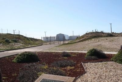
Location. 34° 45.838′ N, 120° 37.386′ W. Marker is in Vandenberg Space Force Base, California, in Santa Barbara County. Marker can be reached from Aero Road. Located at the Vandenberg Space and Missile Heritage Center, only open to those with base access. Touch for map. Marker is in this post office area: Lompoc CA 93437, United States of America. Touch for directions.
Other nearby markers. At least 8 other markers are within 13 miles of this marker, measured as the crow flies. The Curtis P-40 (approx. 5.2 miles away); USAF Medal of Honor Recipients (approx. 5.4 miles away); 40th Infantry Division Korean War Memorial (approx. 5.4 miles away); Vandenberg Air Force Base (approx. 5.4 miles away); Camp Cooke Memorial (approx. 5.4 miles away); Ronald W. Reagan Missile Defense Site (approx. 6˝ miles away); La Purisima Mission (approx. 11.2 miles away); Italian Stone Pines (approx. 12.9 miles away). Touch for a list and map of all markers in Vandenberg Space Force Base.
Credits. This page was last revised on November 27, 2023. It was originally submitted on February 25, 2015, by Joe Page of Albuquerque, New Mexico. This page has been viewed 470 times since then and 21 times this year. Photos: 1. submitted on February 25, 2015, by Joe Page of Albuquerque, New Mexico. 2, 3. submitted on February 27, 2015, by Joe Page of Albuquerque, New Mexico. • Syd Whittle was the editor who published this page.


