Waikiki in Honolulu in Honolulu County, Hawaii — Hawaiian Island Archipelago (Pacific Ocean)
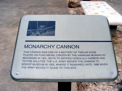
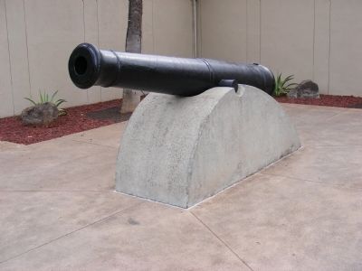
Monarchy Cannon
Hawaii Army Museum
— Fort DeRussy —
Topics. This historical marker is listed in this topic list: Military. A significant historical year for this entry is 1831.
Location. 21° 16.746′ N, 157° 50.022′ W. Marker is in Honolulu, Hawaii, in Honolulu County. It is in Waikiki. Marker is on Kalia Road. Touch for map. Marker is in this post office area: Honolulu HI 96815, United States of America. Touch for directions.
Other nearby markers. At least 8 other markers are within walking distance of this marker. U.S. Prefabricated Pill Box (here, next to this marker); U.S. Light Tank, M24 (here, next to this marker); Japanese Light Tank (a few steps from this marker); U.S. 105mm Howitzer M3 (a few steps from this marker); Japanese Type 1 (1941) (a few steps from this marker); Afong Villa (about 400 feet away, measured in a direct line); Kawehewehe (about 700 feet away); Mahiole (about 700 feet away). Touch for a list and map of all markers in Honolulu.
Credits. This page was last revised on February 10, 2023. It was originally submitted on April 3, 2015, by Don Morfe of Baltimore, Maryland. This page has been viewed 538 times since then and 39 times this year. Photos: 1, 2. submitted on April 3, 2015, by Don Morfe of Baltimore, Maryland. • Andrew Ruppenstein was the editor who published this page.

