Niota in McMinn County, Tennessee — The American South (East South Central)
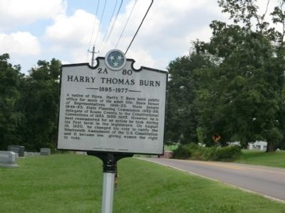
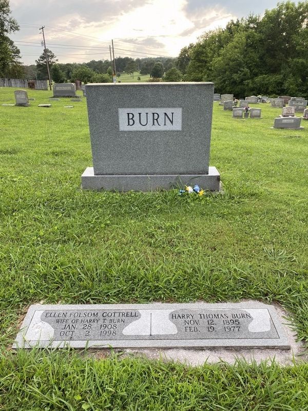
Harry Thomas Burn
1895-1977
Erected by Tennessee Historical Commission. (Marker Number 2A 80.)
Topics and series. This historical marker is listed in this topic list: Government & Politics. In addition, it is included in the Tennessee Historical Commission series list. A significant historical year for this entry is 1953.
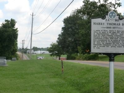
Location. 35° 30.924′ N, 84° 32.957′ W. Marker is in Niota, Tennessee, in McMinn County. Marker is on West WilIson Street (U.S. 11) north of Burn Road (a.k.a. - Lanetown Rd), on the left when traveling north. Touch for map. Marker is in this post office area: Niota TN 37826, United States of America. Touch for directions.
Other nearby markers. At least 8 other markers are within 6 miles of this marker, measured as the crow flies. Niota Depot (approx. 0.2 miles away); a different marker also named Niota Depot (approx. 0.2 miles away); John Tyler Morgan (approx. 4.3 miles away); Free Hill — A Forgotten Community (approx. 5.2 miles away); St. Mark A.M.E. Zion, “Free Hill” (approx. 5.3 miles away); Petty-Manker Hall (approx. 5.3 miles away); The Nocatula Legend (approx. 5.4 miles away); First United Presbyterian Church (approx. 5.4 miles away). Touch for a list and map of all markers in Niota.
Also see . . . Harry Thomas Burn at Wikipedia. (Submitted on July 20, 2021, by Darren Jefferson Clay of Duluth, Georgia.)
Credits. This page was last revised on July 20, 2021. It was originally submitted on October 15, 2013, by Don Morfe of Baltimore, Maryland. This page has been viewed 739 times since then and 21 times this year. Last updated on April 8, 2015, by J. Makali Bruton of Accra, Ghana. Photos: 1, 2. submitted on October 15, 2013, by Don Morfe of Baltimore, Maryland. 3. submitted on July 20, 2021, by Darren Jefferson Clay of Duluth, Georgia. • Bill Pfingsten was the editor who published this page.


