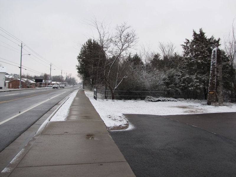
Murfreesboro in Rutherford County, Tennessee — The American South (East South Central)
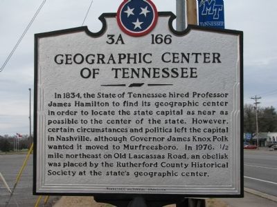
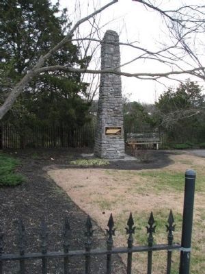
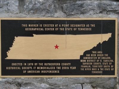
Geographic Center of Tennessee
Erected by Tennessee Historical Commission. (Marker Number 3A-166.)
Topics and series. This historical marker is listed in these topic lists: Notable Places • Political Subdivisions. In addition, it is included in the Former U.S. Presidents: #11 James K. Polk, and the Tennessee Historical Commission series lists. A significant historical year for this entry is 1834.
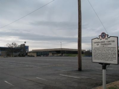
Location. 35° 51.251′ N, 86° 21.98′ W. Marker is in Murfreesboro, Tennessee, in Rutherford County. Marker is at the intersection of Greenland Drive and Lascassas Avenue, on the right when traveling east on Greenland Drive. Touch for map. Marker is in this post office area: Murfreesboro TN 37129, United States of America. Touch for directions.
Other nearby markers. At least 8 other markers are within walking distance of this marker. A different marker also named Geographic Center of Tennessee (approx. half a mile away); James M. Buchanan (approx. half a mile away); Chris Young (approx. 0.6 miles away); Middle Tennessee State Teachers College Training School (approx. 0.7 miles away); Evergreen Cemetery (approx. 0.8 miles away); The Confederate Circle at Evergreen (approx. 0.8 miles away); Known Confederate Veterans Among 2000 Buried Here (approx. 0.9 miles away); Rutherford Hospital / Middle Tennessee Medical Center (approx. 0.9 miles away). Touch for a list and map of all markers in Murfreesboro.
Credits. This page was last revised on March 19, 2024. It was originally submitted on December 31, 2009, by Tom Gillard of Tullahoma, Tennessee. This page has been viewed 15,521 times since then and 196 times this year. Last updated on April 17, 2015, by J. Makali Bruton of Accra, Ghana. Photos: 1, 2, 3, 4. submitted on December 31, 2009, by Tom Gillard of Tullahoma, Tennessee. 5. submitted on February 2, 2011, by Lee Hattabaugh of Capshaw, Alabama. • Bill Pfingsten was the editor who published this page.
