Edmonton in Metcalfe County, Kentucky — The American South (East South Central)
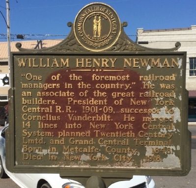
William Henry Newman
Erected 1969 by the Kentucky Historical Society, Kentucky Department of Highways. (Marker Number 1257.)
Topics and series. This historical marker is listed in these topic lists: Industry & Commerce • Railroads & Streetcars. In addition, it is included in the Kentucky Historical Society series list. A significant historical year for this entry is 1848.
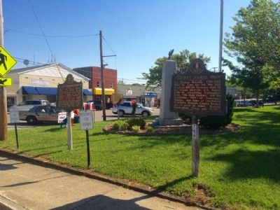
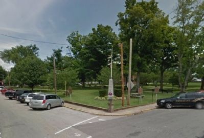
Location. 36° 58.771′ N, 85° 36.721′ W. Marker is in Edmonton, Kentucky, in Metcalfe County. Marker is at the intersection of South Main Street (Kentucky Route 163) and East Stockton Street (Kentucky Route 496), on the right when traveling north on South Main Street. Touch for map. Marker is at or near this postal address: 100 East Stockton Street, Edmonton KY 42129, United States of America. Touch for directions.
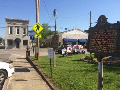
Other nearby markers. At least 8 other markers are within 9 miles of this marker, measured as the crow flies. County Named, 1860 (here, next to this marker); Metcalfe County War Memorial (here, next to this marker); Founder of Edmonton (a few steps from this marker); Civil War Skirmish (approx. 2.2 miles away); Rev. Robert Stockton (approx. 2˝ miles away); Robert Stockton (approx. 2˝ miles away); Dripping Springs (approx. 6.9 miles away); Local Humanitarian (approx. 8.3 miles away). Touch for a list and map of all markers in Edmonton.
Credits. This page was last revised on November 20, 2019. It was originally submitted on May 18, 2015, by Mark Hilton of Montgomery, Alabama. This page has been viewed 389 times since then and 17 times this year. Photos: 1, 2, 3, 4. submitted on May 18, 2015, by Mark Hilton of Montgomery, Alabama.


