Fairgrounds in Tucson in Pima County, Arizona — The American Mountains (Southwest)
First Municipal Airport in the United States
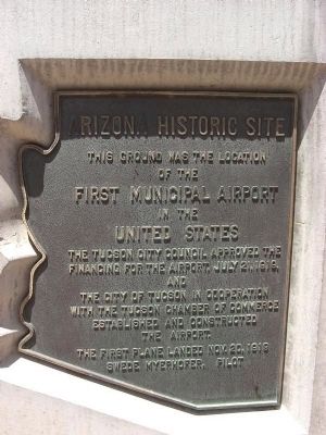
Arizona Historic Site
Inscription.
[Marker Front:]
of the
First Municipal Airport
in the
United States
The Tucson City Council approved the
financing for the airport, July 21, 1919
and
the City of Tucson in cooperation
with the Tucson Chamber of Commerce
established and constructed
the airport.
The first plane landed Nov. 20, 1919
Swede Myerhofer, Pilot
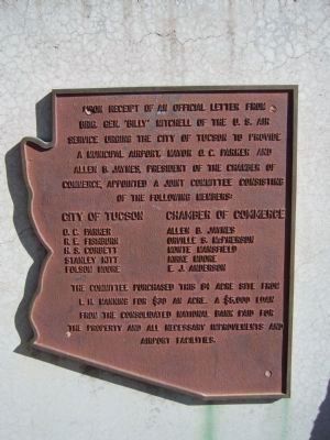
[Marker Rear:]
Upon receipt of an official letter from Brig. Gen. “Billy” Mitchell of the U.S. Air Service urging the City of Tucson to provide a municipal airport. Mayor O.C. Parker and Allen B. Jaynes, President of the Chamber of Commerce, appointed a joint committee consisting of the following members:
O. C. Parker ∙ R. E. Fishburn ∙ H. S. Corbett ∙ Stanley Kitt ∙ Folsom Moore
Chamber of Commerce
Allen B. Jaynes ∙ Orville S. McPherson ∙ Monte Mansfield ∙ Kirke Moore ∙ E. J. Anderson
The committee purchased this 84 acre site from L. H. Manning for $30 an acre. A $5,000 loan from the Consolidated National Bank paid for the property and all necessary improvements and airport facilities.
Topics. This historical marker is listed in these topic lists: Air & Space • Notable Places. A significant historical date for this entry is July 21, 1862.
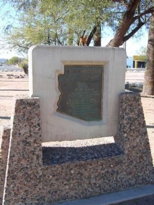
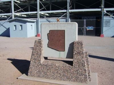
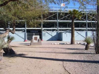
Location. 32° 9.907′ N, 110° 58.063′ W. Marker is in Tucson, Arizona, in Pima County. It is in Fairgrounds. Marker is at the intersection of South 6th Avenue and West Oklahoma Street, on the right when traveling north on South 6th Avenue. Marker is in front of the entrance to the Rodeo Grounds. Touch for map. Marker is at or near this postal address: 4823 South 6th Avenue, Tucson AZ 85714, United States of America. Touch for directions.
Other nearby markers. At least 8 other markers are within 4 miles of this marker, measured as the crow flies. The Korean War Memorial (approx. 2.3 miles away); These Immortal Chaplains (approx. 2.3 miles away); Tucsonans Killed in Action (approx. 2.3 miles away); Santa Cruz Church (approx. 2.9 miles away); Si We:begi Ha Ñeid (approx. 3.2 miles away); One Story from the Barrio Viejo (approx. 3.3 miles away); El Parque de Orlando y Diego Mendoza (approx. 3.3 miles away); Temple Emanu-El (approx. 3.4 miles away). Touch for a list and map of all markers in Tucson.
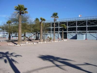
Regarding First Municipal Airport in the United States. Tucson Municipal Flying Field is now the site of the Pima County Fairgrounds & Tucson Rodeo Grounds.
Credits. This page was last revised on December 2, 2023. It was originally submitted on June 20, 2008, by Dirk J. Harris of Tucson, Arizona. This page has been viewed 6,456 times since then and 41 times this year. Photos: 1. submitted on June 20, 2008, by Dirk J. Harris of Tucson, Arizona. 2, 3, 4, 5, 6. submitted on January 1, 2010, by Bill Kirchner of Tucson, Arizona. • Kevin W. was the editor who published this page.
