Williamston in Ingham County, Michigan — The American Midwest (Great Lakes)
Downtown Historic District
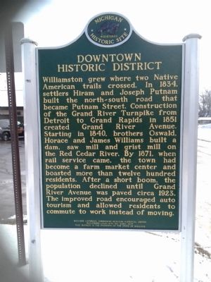
Williamston grew where two Native American trails crossed. In 1834, settlers Hiram and Joseph Putnam built the north-south road that became Putnam Street. Construction of the Grand River Turnpike from Detroit to Grand Rapids in 1851 created Grand River Avenue. Starting in 1840, brothers Oswald, Horace and James Williams built a dam, saw mill and grist mill on the Red Cedar River. By 1871, when rail service came, the town had become a farm market center and boasted more than twelve hundred residents. After a short boom, the population declined until Grand River Avenue was paved circa 1923. The improved road encouraged auto tourism and allowed residents to commute to work instead of moving.
(Side 2)
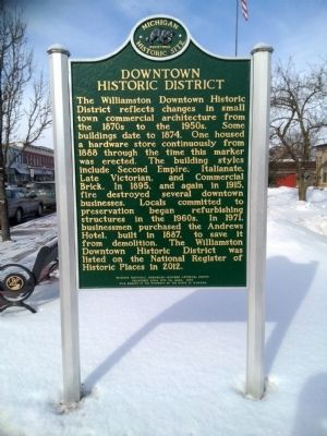
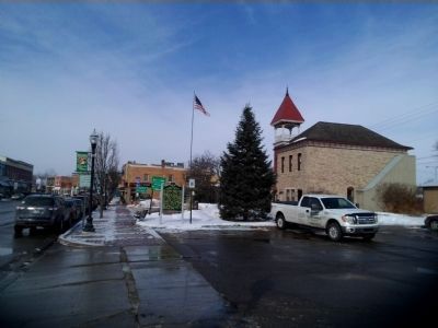
The Williamston Downtown Historic District reflects changes in small town commercial architecture from the 1870s to the 1950s. Some buildings date to 1874. One housed a hardware store continuously from 1888 through the time this marker was erected. The building styles include Second Empire, Italianate, Late Victorian, and Commercial Brick. In 1895, and again in 1915, fire destroyed several downtown businesses. Locals committed to preservation began refurbishing structures in the 1960s. In 1971, businessmen purchased the Andrews Hotel, built in 1887, to save it from demolition. The Williamston Downtown Historic District was listed on the National Register of Historic Places in 2012.
Erected 2014. (Marker Number L2260.)
Topics and series. This historical marker is listed in this topic list: Settlements & Settlers. In addition, it is included in the Michigan Historical Commission series list. A significant historical year for this entry is 1834.
Location. 42° 41.343′ N, 84° 16.892′ W. Marker is in Williamston, Michigan, in Ingham County. Marker is on State Highway 43, 0.1 miles east of South Putnam Street, on the left when traveling east. Touch for map. Marker is at or near this postal address: 161 East Grand River Avenue, Williamston MI 48895, United States of America. Touch for directions.
Other nearby markers. At least 8 other markers are within walking distance of this marker. Williamston Area World War II Memorial (a few steps from this marker); Williamston Civil War Memorial (within shouting distance of this marker); Saint Mary Parish (about 300 feet away, measured in a direct line); Methodist Episcopal Church (about 600 feet away); The Mill (about 700 feet away); The Bridge (about 700 feet away); McCormick Park (about 700 feet away); McCormick Park Shelter (about 700 feet away). Touch for a list and map of all markers in Williamston.
Credits. This page was last revised on June 16, 2016. It was originally submitted on June 19, 2015, by Joel Seewald of Madison Heights, Michigan. This page has been viewed 437 times since then and 14 times this year. Photos: 1, 2, 3. submitted on June 19, 2015, by Joel Seewald of Madison Heights, Michigan. • Bill Pfingsten was the editor who published this page.


