Gordonsburg in Lewis County, Tennessee — The American South (East South Central)
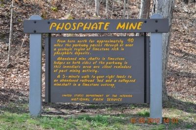
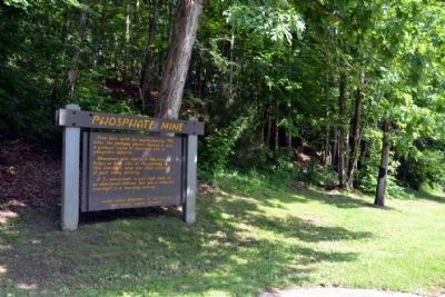
Phosphate Mine
Abandoned mine shafts in limestone ledges on both sides of the parkway in this immediate area are silent reminders of past mining activity.
A 5-minute walk to your right leads to an abandoned railroad bed and a collapsed mineshaft in a limestone outcrop.
Erected by United States Department of the Interior National Park Service.
Topics and series. This historical marker is listed in this topic list: Industry & Commerce. In addition, it is included in the Natchez Trace series list.
Location. 35° 34.119′ N, 87° 25.863′ W. Marker is in Gordonsburg, Tennessee, in Lewis County. Marker is on Natchez Trace Parkway, 0.6 miles south of Columbia Highway (U.S. 412). Touch for map. Marker is in this post office area: Hohenwald TN 38462, United States of America. Touch for directions.
Other nearby markers. At least 8 other markers are within 7 miles of this marker, measured as the crow flies. Meriwether Lewis (approx. 4.3 miles away); Natchez Trace (approx. 4.4 miles away); Grinder House (approx. 4.4 miles away); The Natchez Trace – Early American Trail (approx. 4˝ miles away); Meriwether Lewis: Life Compass (approx. 4˝ miles away); Lands of the Chickasaw (approx. 6 miles away); Hattie Louise "Tootsie" Bess (approx. 6.9 miles away); Hohenwald Neighborhood (approx. 6.9 miles away).
Also see . . .
1. Natchez Trace. Official National Park Service website. (Submitted on June 22, 2015, by Duane Hall of Abilene, Texas.)
2. Phosphate Mining and Industry. From The Tennessee Encyclopedia of History and Culture website. (Submitted on June 22, 2015, by Duane Hall of Abilene, Texas.)
Photographed By Duane Hall, June 4, 2015
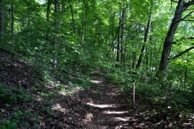
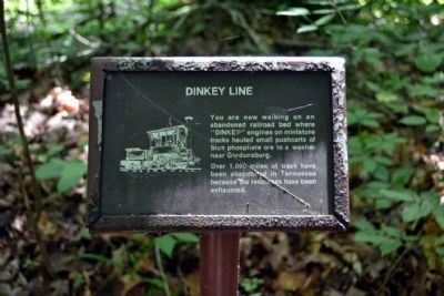
5. Dinkey Line Sign on Trail
You are now walking on an abandoned railroad bed where “DINKEY” engines on miniature tracks hauled small pushcarts of blue phosphate ore to a washer near Gordonsburg.
Over 1,000 miles of track have been abandoned in Tennessee because the resources have been exhausted.
Over 1,000 miles of track have been abandoned in Tennessee because the resources have been exhausted.
Photographed By Duane Hall, June 4, 2015
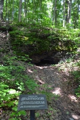
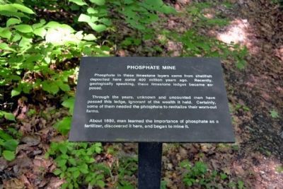
7. Phosphate Mine Sign on Trail
Phosphate in these limestone layers came from shellfish deposited here some 400 million years ago. Recently, geologically speaking, these limestone ledges became exposed.
Through the years, unknown and uncounted men have passed this ledge, ignorant of the wealth it held. Certainly, some of them needed the phosphate to revitalize their worn-out farms.
About 1880, man learned the importance of phosphate as a fertilizer, discovered it here, and began to mine it.
Through the years, unknown and uncounted men have passed this ledge, ignorant of the wealth it held. Certainly, some of them needed the phosphate to revitalize their worn-out farms.
About 1880, man learned the importance of phosphate as a fertilizer, discovered it here, and began to mine it.
Credits. This page was last revised on June 16, 2016. It was originally submitted on March 16, 2012, by Sandra Hughes Tidwell of Killen, Alabama, USA. This page has been viewed 1,005 times since then and 26 times this year. Last updated on June 23, 2015, by J. Makali Bruton of Accra, Ghana. Photos: 1. submitted on March 16, 2012, by Sandra Hughes Tidwell of Killen, Alabama, USA. 2, 3, 4, 5, 6, 7. submitted on June 22, 2015, by Duane Hall of Abilene, Texas. • Bill Pfingsten was the editor who published this page.
