Menomonee Valley in Milwaukee in Milwaukee County, Wisconsin — The American Midwest (Great Lakes)
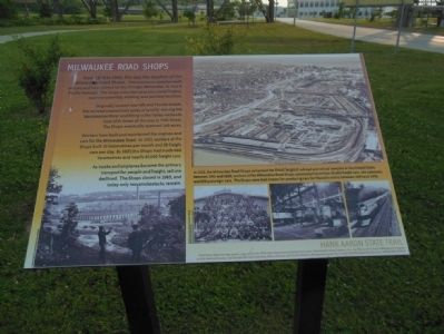
Milwaukee Road Shops
Originally located near 6th and Florida streets, the railroad created sixty acres of land by moving the Menomonee River and filling in the Valley wetlands from 27th Street all the way to 44th Street. The Shops eventually spanned 160 acres.
Workers here built and maintained the engines and cars for the Milwaukee Road. In 1907, workers at the Shops built 10 locomotives per month and 28 freight cars per day. By 1937, the Shops made 668 locomotives and nearly 67,000 freight cars.
As trucks and airplanes became the primary transport for people and freight, rail use declined. The Shops closed in 1985, and today only two smokestacks remain.
In 1922, the Milwaukee Road Shops comprised the third largest railroad and rail car complex in the United States. Between 1941 and 1950, workers at the Milwaukee Road Shops constructed more than 20,000 freight cars, 165 cabooses, and 220 passenger cars. The Shops were best known for producing cars for Hiawatha trains between 1934 and 1948.
Erected by Wisconsin Department of Natural Resources, Menomonee Valley Partners, Inc., the Wisconsin Coastal Management Program and the National Oceanic and Atmospheric Administration.
Topics. This historical marker is listed in these topic lists: Industry & Commerce • Railroads & Streetcars. A significant historical year for this entry is 1879.
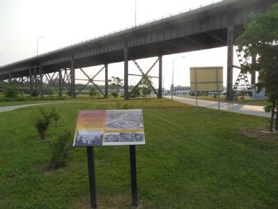
Location. 43° 1.669′ N, 87° 57.505′ W. Marker is in Milwaukee, Wisconsin, in Milwaukee County. It is in Menomonee Valley. Marker is on Canal Street near West Milwaukee Road, on the right. Touch for map. Marker is in this post office area: Milwaukee WI 53214, United States of America. Touch for directions.
Other nearby markers. At least 8 other markers are within walking distance of this marker. A Changing Landscape (about 600 feet away, measured in a direct line); The Machine Shop of the World (approx. 0.2 miles away); Immigrants and Silver City (approx. ¼ mile away); American Indians in the Menomonee Valley (approx. ¼ mile away); Menomonee Valley Native Plants (approx. 0.3 miles away); Hank Aaron (approx. 0.4 miles away); Hank Aaron State Trail (approx. 0.4 miles away); Hank Aaron - Changing Times (approx. 0.4 miles away). Touch for a list and map of all markers in Milwaukee.
Credits. This page was last revised on February 16, 2023. It was originally submitted on July 4, 2015, by Gordon Govier of Fitchburg, Wisconsin. This page has been viewed 936 times since then and 162 times this year. Photos: 1, 2. submitted on July 4, 2015, by Gordon Govier of Fitchburg, Wisconsin. • Andrew Ruppenstein was the editor who published this page.

