Barnwell in Barnwell County, South Carolina — The American South (South Atlantic)
Barnwell
[Front]:
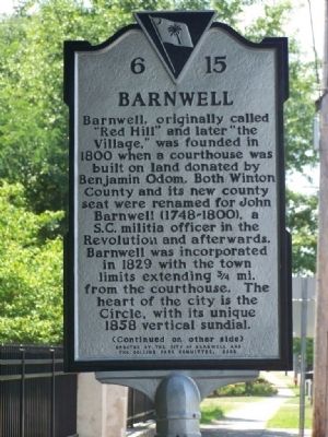
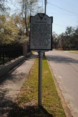
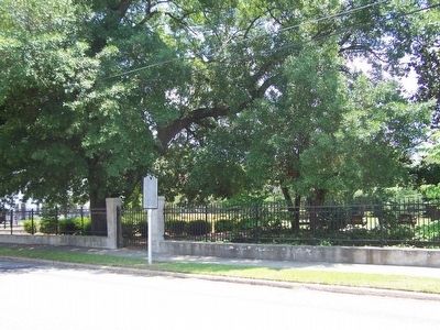
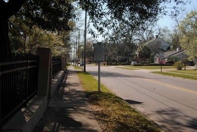
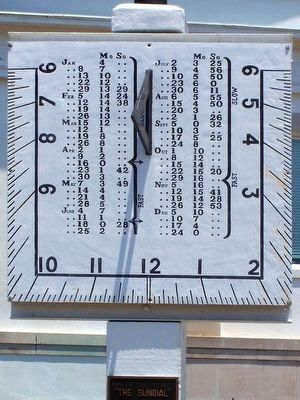
Barnwell, originally called “Red Hill” and later “the Village,” was founded in 1800 when a courthouse was built on land donated by Benjamin Odom. Both Winton County and its new county seat were renamed for John Barnwell (1748-1800), a S.C. militia officer in the Revolution and afterwards. Barnwell was incorporated in 1829 with the town limits extending ¾ mi. from the courthouse. The heart of the city is the Circle, with its unique 1858 vertical sundial.
[Reverse]:
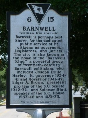
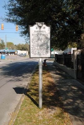
Barnwell is perhaps best known for the dedicated public service of its citizens as governors, legislators, and jurists. The city is also known as the home of the “Barnwell Ring”, a powerful group of twentieth-century Barnwell politicians who included Joseph Emile Harley, lt. governor 1934-41 and governor 1941-42; Edgar A. Brown, president pro tem of the S.C. Senate 1942-72, and Solomon Blatt, speaker of the S.C. House 1937-46 and 1951-73.
Erected 2002 by City of Barnwell and the Collins Park Committee. (Marker Number 06-15.)
Topics. This historical marker is listed in this topic list: Notable Places. A significant historical year for this entry is 1829.
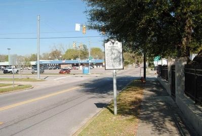
Location. 33° 14.675′ N, 81° 21.557′ W. Marker is in Barnwell , South Carolina, in Barnwell County. Marker is on Main Street (State Highway 70) near Marlboro (State Highway 3), on the left when traveling west. Downtown Barnwell, at Collins Park. Touch for map. Marker is in this post office area: Barnwell SC 29812, United States of America. Touch for directions.
Other nearby markers. At least 10 other markers are within walking distance of this marker. The Barnwell Ring Monument (a few steps from this marker); Collins Park (a few steps from this marker); William Gilmore Simms (within shouting distance of this marker); The Police Station (approx. 0.3 miles away); “The Sundial” (approx. 0.3 miles away); Barnwell County Courthouse (approx. 0.3 miles away); Bank Of Barnwell / Edgar A. Brown Law Office (approx. 0.3 miles away); Solomon Blatt, Sr. (approx. 0.3 miles away); Edgar A. Brown (approx. 0.3 miles away); Barnwell County Revolutionary War Monument (approx. 0.3 miles away). Touch for a list and map of all markers in Barnwell.
Also see . . .
1. Wikipedia entry for Barnwell, SC. Barnwell gave generously to the Confederate cause; the most distinguished person was General Johnson Hagood, who was later governor of South Carolina. Soon after Hagood's election, one of his constituents asked him if he wished to be called "General" or "Governor". "Call me General," Hagood said, with a twinkle in his eye, "I fought for that and begged for the other." (Submitted on June 24, 2008, by Mike Stroud of Bluffton, South Carolina.)
2. The so-called "Barnwell Ring". was a grouping of influential Democratic South Carolina political leaders from Barnwell County. (Submitted on June 24, 2008, by Mike Stroud of Bluffton, South Carolina.)
Credits. This page was last revised on June 16, 2016. It was originally submitted on June 24, 2008, by Mike Stroud of Bluffton, South Carolina. This page has been viewed 1,686 times since then and 43 times this year. Photos: 1, 2. submitted on June 24, 2008, by Mike Stroud of Bluffton, South Carolina. 3, 4. submitted on June 14, 2016, by Brian Scott of Anderson, South Carolina. 5. submitted on June 24, 2008, by Mike Stroud of Bluffton, South Carolina. 6, 7. submitted on June 14, 2016, by Brian Scott of Anderson, South Carolina. 8. submitted on June 24, 2008, by Mike Stroud of Bluffton, South Carolina. • Kevin W. was the editor who published this page.
