Oswego in Oswego County, New York — The American Northeast (Mid-Atlantic)
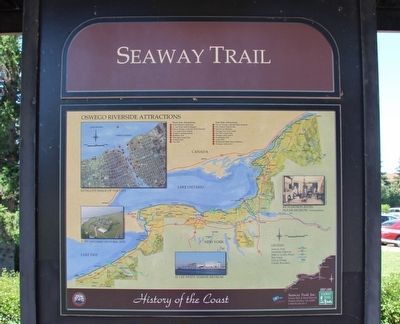
Seaway Trail
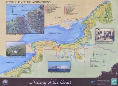
Oswego Riverside Attractions
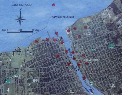
Oswego Riverside Attractions
West Side Attractions
1. West Pierhead Lighthouse
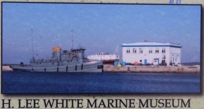
2. H. Lee White Marine Museum
3. Port of Oswego Authority West Terminal
4. U.S. Coast Guard Station
5. Wright's Landing Marina
6. Breitbeck Park
7. West Side Linear Park
8. Franklin Park
9. City Hall
East Side Attractions
10. Port of Oswego Authority East Terminal
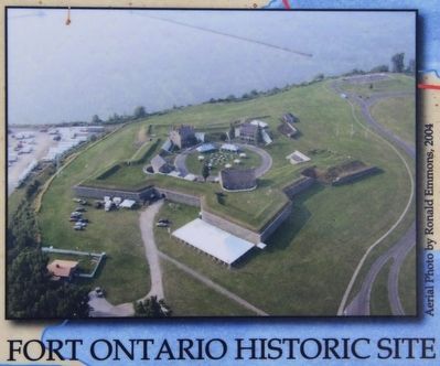
11. Fort Ontario Historic Site
12. Safe Haven Museum
13. Oswego Civic Arts Center
14. East Side Linear Park
15. Oswego Canal Lock 8
16. Washington Park
17. Leotta Park
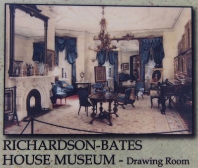
18. Richardson-Bates House Museum
19. Oswego Canal Lock 7
Erected by Seaway Trail, Inc.
Topics and series. This historical marker is listed in this topic list: Landmarks. In addition, it is included in the Great Lakes Seaway Trail National Scenic Byway series list.
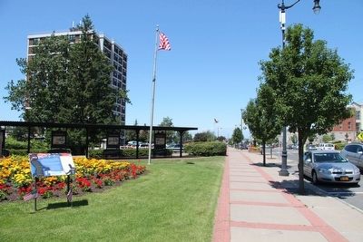
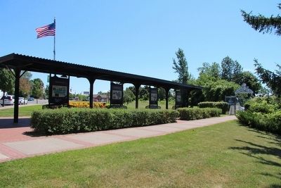
Location. 43° 27.331′ N, 76° 30.406′ W. Marker is in Oswego, New York, in Oswego County. Marker is on East 1st Street (New York State Route 481) north of East Mohawk Street, on the right when traveling south. This marker is located in the downtown area, on the high ground overlooking the East side of the Oswego River, across the street from the old armory building (157 East 1st Street), along the O & W Railroad Pedestrian Promenade & Bikeway, under a canopy, with seven other Seaway Trail markers. Touch for map. Marker is in this post office area: Oswego NY 13126, United States of America. Touch for directions.
Other nearby markers. At least 8 other markers are within walking distance of this marker. People of the River (here, next to this marker); The Fur Trade (here, next to this marker); War for Empire (here, next to this marker); River Industries (a few steps from this marker); Age of Iron Horses (a few steps from this marker); Early Shipping (a few steps from this marker); Bicentennial Peace Garden (a few steps from this marker); The Oswego Canal (a few steps from this marker). Touch for a list and map of all markers in Oswego.
Credits. This page was last revised on June 16, 2016. It was originally submitted on July 27, 2015, by Dale K. Benington of Toledo, Ohio. This page has been viewed 372 times since then and 19 times this year. Photos: 1, 2, 3, 4, 5, 6, 7, 8. submitted on July 27, 2015, by Dale K. Benington of Toledo, Ohio.
