Odessa in Ector County, Texas — The American South (West South Central)
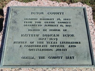
Ector County
from Tom Green County
Organized January 15, 1891
Named in honor of
Matthew Duncan Ector
1822-1879
Member of the Texas Legislature
A Confederate Officer and
outstanding jurist
Odessa, The County Seat
Erected 1936 by State of Texas. (Marker Number 1379.)
Topics and series. This historical marker is listed in this topic list: Settlements & Settlers. In addition, it is included in the Texas 1936 Centennial Markers and Monuments series list. A significant historical date for this entry is January 15, 1859.
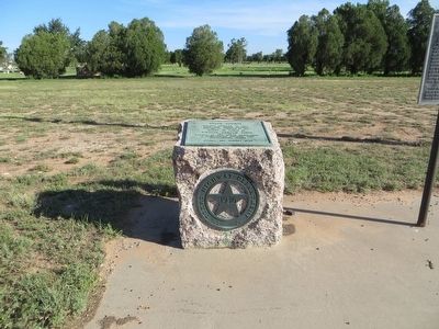
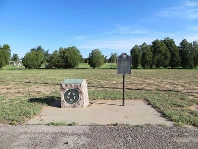
Location. 31° 52.851′ N, 102° 17.888′ W. Marker is in Odessa, Texas, in Ector County. Marker is on Business Interstate 20 east of Newell Road, on the left when traveling east. Touch for map. Marker is at or near this postal address: 6801 Interstate 20E Business, Odessa TX 79762, United States of America. Touch for directions.
Other nearby markers. At least 8 other markers are within 4 miles of this marker, measured as the crow flies. Comanche War Trail (here, next to this marker); Emmet V. Headlee, M.D (approx. 1.6 miles away); John Ben Shepperd (approx. 2.2 miles away); Old Buffalo Wallow (approx. 2.3 miles away); Sewell Ford (approx. 2.6 miles away); Temple Beth El (approx. 3 miles away); Ector County's First Dry Hole (approx. 3.1 miles away); Site of Homestead of William C. Sublett (approx. 3.2 miles away). Touch for a list and map of all markers in Odessa.
Credits. This page was last revised on June 16, 2016. It was originally submitted on August 4, 2015, by Bill Kirchner of Tucson, Arizona. This page has been viewed 517 times since then and 22 times this year. Photos: 1, 2, 3. submitted on August 4, 2015, by Bill Kirchner of Tucson, Arizona. • Bernard Fisher was the editor who published this page.


