Fort Laramie in Goshen County, Wyoming — The American West (Mountains)
Fort William and the Fur Trade
Fort Laramie National Historic Site
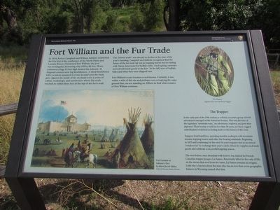
In 1834, Robert Campbell and William Sublette established the first fort at the confluence of the North Platte and Laramie Rivers. Christened Fort William, the post was rectangular, measuring only 100 by 80 feet. Hewn cottonwood logs 15 feet high formed the palisade. At diagonal corners were log blockhouses. A third blockhouse with a cannon mounted in it was located over the front gate. Against the inside of the stockade were a series of cabins, workshops, and storehouses whose flat roofs reached to within three feet of the top of the fort’s wall.
The “beaver trade” was already in decline at the time of the post’s founding. Campbell and Sublette recognized that the future of the fur trade lay not in trapping beaver but in trading with Native Americans for buffalo robes. Each spring, caravans arrived with trade goods at the fort. In the fall, tons of buffalo hides and other furs were shipped east.
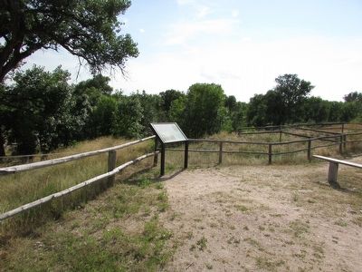
Fort William’s exact location is not known. Certainly, it was within a mile of this site and perhaps even occupying the same ground that you are standing on. Efforts to find what remains of Fort William continue.
The Trapper
Trappers lived hard lives, spending months wading in cold mountain streams trapping beaver and other fur-bearing mammals. Beginning in 1825 and continuing for the next 16 years trappers met at an annual “rendezvous” to exchange their year’s catch of furs for supplies and trade goods and celebrate a successful trapping season.
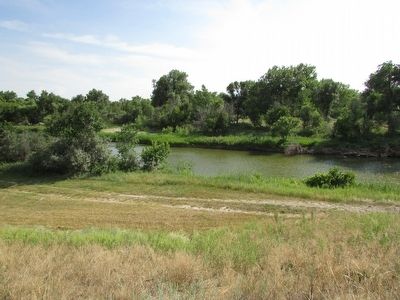
The river below, once abundant with beaver, was named for French-Canadian trapper Jacques LaRamee. Reportedly killed in the early 1820s on the stream that now bears his name, LaRamee remains an enigma. Little else is known about the man who has no less than seven geographic features in Wyoming named after him.
Erected by National Park Service.
Topics. This historical marker is listed in these topic lists: Forts and Castles • Industry & Commerce. A significant historical year for this entry is 1834.
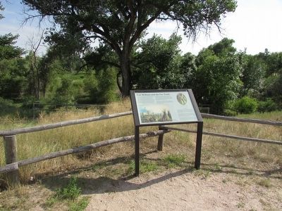
Location. 42° 12.062′ N, 104° 33.546′ W. Marker is in Fort Laramie, Wyoming, in Goshen County. Marker can be reached from State Highway 160, on the left when traveling west. Marker is located at Fort Laramie National Historic Site. Touch for map. Marker is in this post office area: Fort Laramie WY 82212, United States of America. Touch for directions.
Other nearby markers. At least 8 other markers are within walking distance of this marker. Fort John – The ‘Second Fort Laramie’ (here, next to this marker); The “Government Workhouse” (within shouting distance of this marker); Between Two Worlds . . . the American Métis (within shouting distance of this marker); Captain’s Quarters (within shouting distance of this marker); Reading, ‘Riting, and ‘Rithmetic (about 300 feet away, measured in a direct line); Refinement at Fort Laramie (about 300 feet away); Administration Building (about 400 feet away); Officers Quarters (about 400 feet away). Touch for a list and map of all markers in Fort Laramie.
More about this marker. A painting of “Fort Laramie or Sublette’s Fort by Alfred Jacob Miller” appears at the bottom left of the marker. An original water color of “The Trapper” by Robert Tupper can be seen at the upper right of the marker.
Also see . . . Fort Laramie National Historic Site. (Submitted on August 10, 2015, by Bill Coughlin of Woodland Park, New Jersey.)
Credits. This page was last revised on June 16, 2016. It was originally submitted on August 10, 2015, by Bill Coughlin of Woodland Park, New Jersey. This page has been viewed 426 times since then and 27 times this year. Photos: 1, 2, 3, 4. submitted on August 10, 2015, by Bill Coughlin of Woodland Park, New Jersey.


