Fort Laramie in Goshen County, Wyoming — The American West (Mountains)
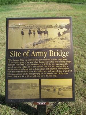
Site of Army Bridge
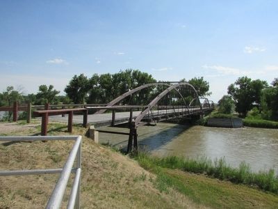
The Laramie River was unpredictable and unchecked by dams. High water during the spring of the year often damaged or washed away existing bridges; therefore, from 1853 to post abandonment in 1890 the river was spanned by several successive bridges on or near this site. The first was constructed by a private firm which charged tolls to both soldiers and emigrants. In subsequent years they were free to all users. The bridges were well-traveled since a variety of living quarters and a hotel had sprung up on the opposite bank. Bridge sizes varied. They were 14 to 16 feet wide and up to 236 feet long.
Erected by Fort Laramie National Historic Site.
Topics. This historical marker is listed in this topic list: Bridges & Viaducts. A significant historical year for this entry is 1853.
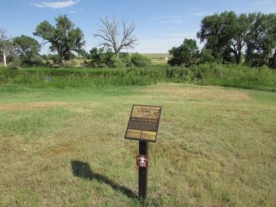
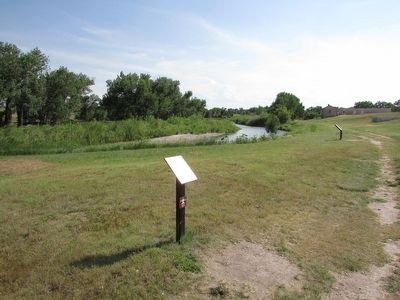
Location. 42° 12.136′ N, 104° 33.375′ W. Marker is in Fort Laramie, Wyoming, in Goshen County. Marker can be reached from State Highway 160, on the left when traveling west. Marker is located at Fort Laramie National Historic Site. Touch for map. Marker is in this post office area: Fort Laramie WY 82212, United States of America. Touch for directions.
Other nearby markers. At least 8 other markers are within walking distance of this marker. The Queens of Soap Suds Row (a few steps from this marker); General Sink (Latrine) (within shouting distance of this marker); Guardhouse (within shouting distance of this marker); Embassy on the Northern Plains (within shouting distance of this marker); The “New” Guardhouse and Adjacent Barracks (within shouting distance of this marker); Crossroads of a Nation Moving West (about 300 feet away, measured in a direct line); Parade Ground (about 300 feet away); Military Justice: Punishment Harsh and Certain (about 400 feet away). Touch for a list and map of all markers in Fort Laramie.
More about this marker. Three different photographs of the Army bridge appear on the marker.
Credits. This page was last revised on June 16, 2016. It was originally submitted on August 10, 2015, by Bill Coughlin of Woodland Park, New Jersey. This page has been viewed 326 times since then and 12 times this year. Photos: 1, 2, 3, 4. submitted on August 10, 2015, by Bill Coughlin of Woodland Park, New Jersey.


