Unionville Center in Union County, Ohio — The American Midwest (Great Lakes)
Unionville Center
The Sager Settlement on Darby Creek
— Small Village on an Old Road —
Inscription.
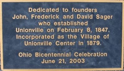
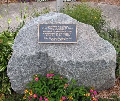
Dedicated to founders John, Frederick and David Sager who established Unionville on February 8, 1847. Incorporated as the Village of Unionville Center in 1879
Ohio Bicentennial Celebration June 21, 2003
Erected 2003 by Ohio Bicentennial Celebration.
Topics. This historical marker is listed in this topic list: Settlements & Settlers. A significant historical month for this entry is February 1876.
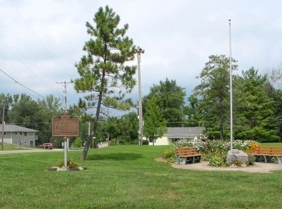
Location. 40° 8.328′ N, 83° 20.36′ W. Marker is in Unionville Center, Ohio, in Union County. Marker is at the intersection of Middleburg-Plain City Rd (County Route 57) and Cross Street (County Route 55), on the right when traveling west on Middleburg-Plain City Rd. Touch for map. Marker is at or near this postal address: 96 Main Street, Unionville Center OH 43077, United States of America. Touch for directions.
Other nearby markers. At least 8 other markers are within 4 miles of this marker, measured as the crow flies. Vice President Charles Warren Fairbanks / Charles Warren Fairbanks Birthplace (here, next to this marker); Darby Township Veterans Memorial (approx. 0.2 miles away); a different marker also named Darby Township Veterans Memorial (approx. 0.3 miles away); Mitchell Cemetery Stone #1 (approx. 2.4 miles away); Mitchell Cemetery Stone #3 (approx. 2˝ miles away); Mitchell Cemetery Stone #2 (approx. 2˝ miles away); Bridgeport / Bridgeport Iron Bridge (approx. 3.3 miles away); St.John’s Evangelical Lutheran Church and School (approx. 3˝ miles away). Touch for a list and map of all markers in Unionville Center.
Credits. This page was last revised on June 16, 2016. It was originally submitted on August 12, 2015, by Rev. Ronald Irick of West Liberty, Ohio. This page has been viewed 512 times since then and 45 times this year. Photos: 1, 2, 3. submitted on August 12, 2015, by Rev. Ronald Irick of West Liberty, Ohio. • Bill Pfingsten was the editor who published this page.


