Guilford in Dearborn County, Indiana — The American Midwest (Great Lakes)
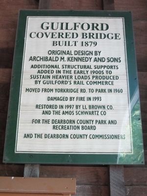
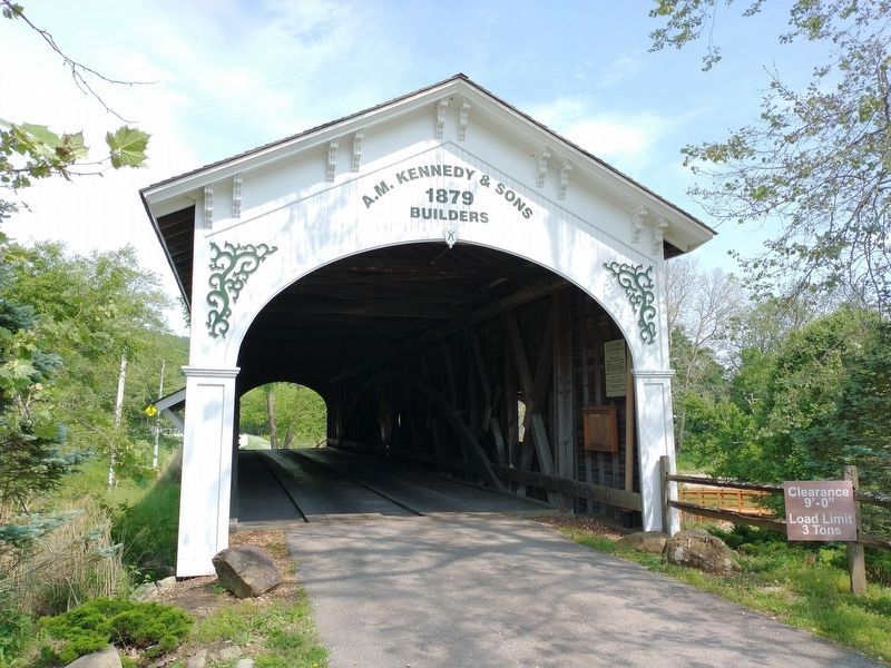
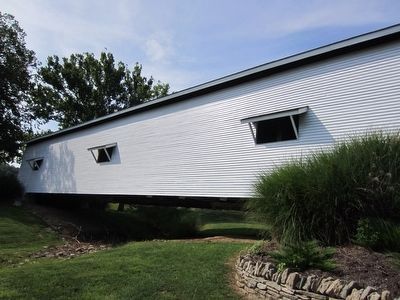
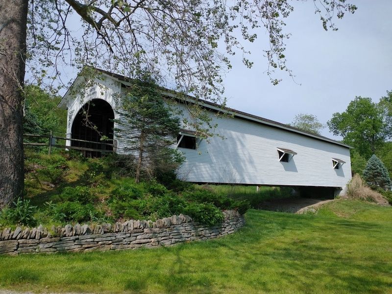
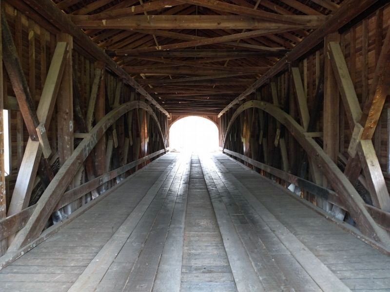
Guilford Covered Bridge
Built 1879
Original Design by Archibald M. Kennedy and Sons
Additional Structural Supports added in the early 1900s to sustain heavier loads produced by Guilford's rail commerce
Moved from Yorkridge Rd to park in 1960
Damaged by fire in 1993
Restored in 1997 by LL Brown Co. and the Amos Schwartz Co
For the Dearborn County Park and Recreation Board
And the Dearborn County Commissioners
Topics and series. This historical marker is listed in this topic list: Bridges & Viaducts. In addition, it is included in the Covered Bridges series list. A significant historical year for this entry is 1879.
Location. 39° 10.215′ N, 84° 54.508′ W. Marker is in Guilford, Indiana, in Dearborn County. Marker can be reached from Main Street. Marker is inside the bridge on the right side as you pass under the bridge from the road. The Bridge is located in the Guilford Covered Bridge Park. Touch for map. Marker is at or near this postal address: 4785 Main Street, Guilford IN 47022, United States of America. Touch for directions.
Other nearby markers. At least 8 other markers are within 6 miles of this marker, measured as the crow flies. East Fork Stone Chapel (approx. 1.3 miles away); 1801 Miller Burying Ground (approx. 4.8 miles away); Indiana - Ohio State Line Monument (approx. 5 miles away in Ohio); Drovers Inn (approx. 5.2 miles away); Dover (approx. 5.3 miles away); General John Morgan (approx. 5.3 miles away); a different marker also named General John Morgan (approx. 5.4 miles away); St. John The Baptist Church (approx. 5.6 miles away). Touch for a list and map of all markers in Guilford.
Credits. This page was last revised on June 6, 2021. It was originally submitted on August 31, 2015. This page has been viewed 701 times since then and 56 times this year. Photos: 1. submitted on August 31, 2015. 2. submitted on June 5, 2021, by Tom Bosse of Jefferson City, Tennessee. 3. submitted on August 31, 2015. 4, 5. submitted on June 5, 2021, by Tom Bosse of Jefferson City, Tennessee. • Bill Pfingsten was the editor who published this page.
