Mammoth in Yellowstone National Park in Park County, Wyoming — The American West (Mountains)
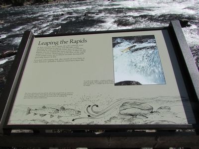
Leaping the Rapids
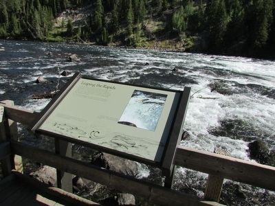
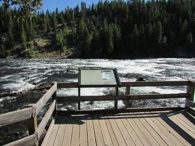
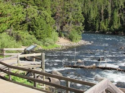
In June and July these rapids fill with cutthroat trout heading upstream to spawn near the lake outlet. Spawning is a life-and-death event; here at LeHardy Rapids you can witness the fierce energy it takes for the species to survive. Watch pools at the base of the rapids. A fish jumps every ten to fifteen seconds during peak spawning season in July.
Crowded with leaping fish, this stretch of river hints at what America’s primitive fisheries must have been like.
To vault rocky ledges, a mature cutthroat cocks its body, then explodes three to four feet into the air – a height up to five times its length.
The force of backwash beneath the falls helps propel fish up and over. At steep ledges many trout appear to fail, but with repeated jumping most of them make it upstream. Far more fish are making the spawning run unseen underwater.
Erected by National Park Service.
Topics. This historical marker is listed in this topic list: Animals.
Location. 44° 36.435′ N, 110° 23.069′ W. Marker is in Yellowstone National Park, Wyoming, in Park County. It is in Mammoth. Marker can be reached from Grand Loop Road, 3 miles north of Fishing Bridge Junction, on the right when traveling north. Touch for map . Marker is in this post office area: Yellowstone National Park WY 82190, United States of America. Touch for directions.
Other nearby markers. At least 8 other markers are within 3 miles of this marker, measured as the crow flies. Mud Geyser (approx. 2.6 miles away); Cooking Hillside (approx. 2.6 miles away); Churning Caldron (approx. 2.6 miles away); Black Dragon’s Caldron (approx. 2.7 miles away); Dragon's Mouth Spring (approx. 2.7 miles away); Mud Volcano (approx. 2.7 miles away); Grizzly Fumarole (approx. 2.7 miles away); Off the Hook (approx. 2.8 miles away). Touch for a list and map of all markers in Yellowstone National Park.
Credits. This page was last revised on February 16, 2023. It was originally submitted on September 8, 2015, by Bill Coughlin of Woodland Park, New Jersey. This page has been viewed 340 times since then and 18 times this year. Photos: 1, 2, 3, 4. submitted on September 8, 2015, by Bill Coughlin of Woodland Park, New Jersey.


