Near Sinclair in Carbon County, Wyoming — The American West (Mountains)
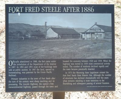
Fort Fred Steele after 1886
Primary industries in the town of Fort Steele after the turn of the century were sheep ranching and tie processing. The Lincoln Highway, the nation's first transcontinental highway, passed through the town and boosted the economy between 1920 and 1939. When the highway was moved in 1939 most commercial activity ended. The number of residents declined rapidly and the town became practically deserted.
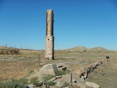
In 1973 the Wyoming State Legislature created the Fort Steele State Historic Site. Although the number of structures has declined dramatically over the years what remains standing is mute testimony to the flourishing and subsequent passing of several frontiers.
Erected by Wyoming Recreation Commission.
Topics and series. This historical marker is listed in these topic lists: Forts and Castles • Settlements & Settlers. In addition, it is included in the Lincoln Highway series list.
Location. 41° 46.682′ N, 106° 56.814′ W. Marker is near Sinclair, Wyoming, in Carbon County. Marker is on County Route 347 near Interstate 80, on the right when traveling west. Touch for map. Marker is in this post office area: Sinclair WY 82334, United States of America. Touch for directions.
Other nearby markers. At least 8 other markers are within walking distance of this marker. Fort Fred Steele (a few steps from this marker); Enlisted Men's Barracks (a few steps from this marker); Viewing the Fort Grounds (within shouting distance of this marker); Thornburgh's Command (within shouting distance of this marker); Major Thomas Tipton Thornburgh (within shouting distance of this marker); Rock Springs Massacre (within shouting distance of this marker); Major General Frederick Steele (within shouting distance of this marker); Major General Philippe Regis de Trobriand (within shouting distance of this marker). Touch for a list and map of all markers in Sinclair.
More about this marker. This marker is located at Fort Fred Steele State Historic Site. The site is on County Road 347, north of the Interstate 80 Exit 228 and on the north side of the railroad tracks.
Credits. This page was last revised on June 16, 2016. It was originally submitted on October 24, 2015, by Barry Swackhamer of Brentwood, California. This page has been viewed 296 times since then and 6 times this year. Photos: 1, 2. submitted on October 24, 2015, by Barry Swackhamer of Brentwood, California.

