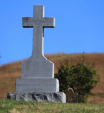
Near Chilhowie in Smyth County, Virginia — The American South (Mid-Atlantic)
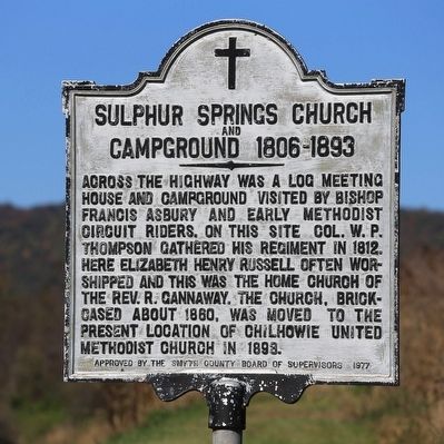
Sulphur Springs Church and Campground
1806–1893
Erected 1977 by (unknown party). Approved by the Smyth County Board of Supervisors.
Topics and series. This historical marker is listed in this topic list: Churches & Religion. In addition, it is included in the Francis Asbury, Traveling Methodist Preacher series list. A significant historical year for this entry is 1806.
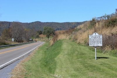
Location. 36° 48.389′ N, 81° 41.499′ W. Marker is near Chilhowie, Virginia, in Smyth County. Marker is on Virginia Route 107 just north of Sulphur Springs Road (County Route 639), on the right when traveling north. Touch for map. Marker is in this post office area: Chilhowie VA 24319, United States of America. Touch for directions.
Other nearby markers. At least 8 other markers are within 3 miles of this marker, measured as the crow flies. Chilhowie Methodist Episcopal Church (approx. 0.6 miles away); Chilhowie (approx. ¾ mile away); Farthest West, 1750 (approx. ¾ mile away); Town House (approx. ¾ mile away); a different marker also named Chilhowie (approx. 0.9 miles away); Transportation Through the Ages (approx. one mile away); Smyth County / Washington County (approx. 1.3 miles away); William Campbell’s Grave (approx. 2.8 miles away). Touch for a list and map of all markers in Chilhowie.
Also see . . . Elizabeth Henry Campbell Russell. “After her husband’s death in 1793, Madame Russell, as she was known, increased her Methodist activism. She gave up her personal wealth but used the funds she had to support circuit riders and to pay to build churches. With a firm belief in God-given freedom for all people, she freed the slave that she owned. In 1812 she settled into a log cabin with a large room for holding religious meetings. Until her death, she hosted itinerant preachers and alerted community members whenever an impromptu service was to be held. When poor evangelists visited her, she bolstered them with food and clothing, as well as moral support and intellectual stimulation. The Madame Russell Methodist Church in Saltville is named in her honor.” (Submitted on November 29, 2015.)
Credits. This page was last revised on June 16, 2016. It was originally submitted on November 29, 2015, by J. J. Prats of Powell, Ohio. This page has been viewed 542 times since then and 37 times this year. Photos: 1, 2, 3, 4, 5. submitted on November 29, 2015, by J. J. Prats of Powell, Ohio.
