Near Tyler in Smith County, Texas — The American South (West South Central)
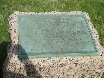
Smith County
Created April 11, 1846, organized
July 13, 1846, named in honor of
General James Smith
pioneer soldier and stateman,
friend of General Sam Houston,
Thomas J. Rusk and J. Pinckney
Henderson
Born September 10, 1792
Died December 25, 1855
Buried with military honors
at Henderson.
Tyler, the County Seat
Erected 1936 by Texas Highway Department. (Marker Number 7756.)
Topics and series. This historical marker is listed in this topic list: Settlements & Settlers. In addition, it is included in the Texas 1936 Centennial Markers and Monuments series list. A significant historical date for this entry is April 11, 1846.
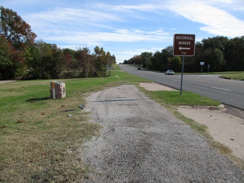
Location. 32° 21.713′ N, 95° 23.51′ W. Marker is near Tyler, Texas, in Smith County. Marker is at the intersection of State Highway 64 and Dixie Drive (County Road 1143), on the right when traveling west on State Highway 64. Touch for map. Marker is in this post office area: Tyler TX 75704, United States of America. Touch for directions.
Other nearby markers. At least 8 other markers are within 5 miles of this marker, measured as the crow flies. Pleasant Retreat United Methodist Church (approx. ¼ mile away); Wood-Verner Cemetery (approx. 2.4 miles away); The Major John Dean House (approx. 3.7 miles away); Smith County Rose Industry and the Tyler Rose Garden (approx. 4.2 miles away); History of the Tyler Municipal Rose Garden (approx. 4.2 miles away); Butler College (approx. 4.4 miles away); The Patterson Home (approx. 4½ miles away); Judge Stockton P. Donley (approx. 4.8 miles away). Touch for a list and map of all markers in Tyler.
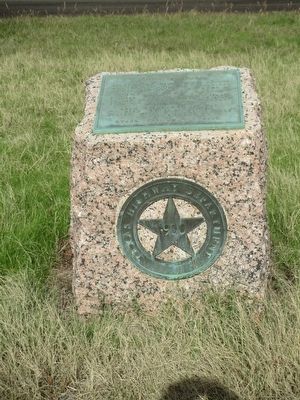
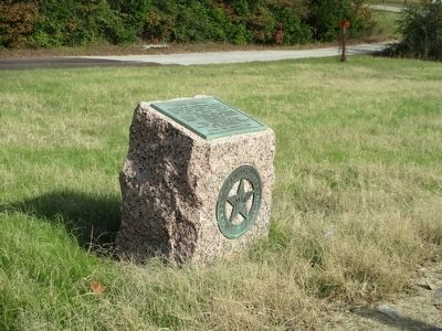
More about this marker. As a part of the 1936 Texas Centennial, the Texas Highway Department placed county markers like this one for every county. This Highway had been built in 1915 as a part of the transcontinental Dixie Overland Highway.
Credits. This page was last revised on November 28, 2023. It was originally submitted on December 5, 2015, by Randal B. Gilbert of Tyler, Texas. This page has been viewed 540 times since then and 46 times this year. Photos: 1, 2, 3. submitted on December 5, 2015, by Randal B. Gilbert of Tyler, Texas. 4. submitted on November 27, 2023, by Jeff Leichsenring of Garland, Texas. • Bernard Fisher was the editor who published this page.


