Mount Holly in Rutland County, Vermont — The American Northeast (New England)
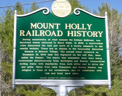
Mount Holly Railroad History
During construction of what became the Rutland Railroad, two important events occurred in Mount Holly. In 1848, a construction crew discovered the tusk and tooth of a woolly mammoth in the nearby wetland. These are on display in the Community Historical Museum in Belmont Village. The second event occurred on December 18, 1849 near this highpoint on the rail line, later called the Summit. The tracks that connected here were being constructed simultaneously from Burlington and Boston. Locomotives pulling trains with dignitaries from both cities met to drive the last spike. Water from Lake Champlain and Boston Harbor was mingled in front of the cowcatchers, and all celebrated with rum and local hard cider.
Erected 2015 by Vermont Division for Historical Preservation.
Topics. This historical marker is listed in these topic lists: Animals • Paleontology • Railroads & Streetcars. A significant historical year for this entry is 1848.
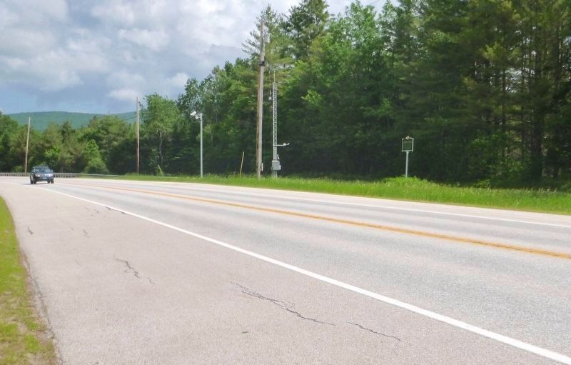
Location. 43° 27.106′ N, 72° 47.191′ W. Marker is in Mount Holly, Vermont, in Rutland County. Marker is on Vermont Route 103, on the right when traveling west. Touch for map. Marker is in this post office area: Mount Holly VT 05758, United States of America. Touch for directions.
Other nearby markers. At least 8 other markers are within 7 miles of this marker, measured as the crow flies. Village of Mechanicsville (approx. 3.1 miles away); Revolutionary War Campground on the Crown Point Road (approx. 4.9 miles away); Vermont Gold Rush (approx. 4.9 miles away); John Porter Bowman and Laurel Hall / Laurel Glen Mausoleum (approx. 5.2 miles away); Abby Maria Hemenway (approx. 5.9 miles away); Veteran’s Memorial (approx. 5.9 miles away); Civilian Conservation Corps West River Forest Camp (approx. 6.2 miles away); Achsa W. Sprague (1827-1862) (approx. 6.6 miles away).
Credits. This page was last revised on June 23, 2017. It was originally submitted on April 28, 2016, by Dennis Gilkenson of Saxtons River, Vermont. This page has been viewed 521 times since then and 48 times this year. Last updated on June 19, 2017, by Dennis Gilkenson of Saxtons River, Vermont. Photos: 1. submitted on April 28, 2016, by Dennis Gilkenson of Saxtons River, Vermont. 2. submitted on June 19, 2017, by Dennis Gilkenson of Saxtons River, Vermont. • Kevin W. was the editor who published this page.

