Anderson in Anderson County, South Carolina — The American South (South Atlantic)
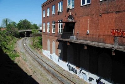
Blue Ridge Railroad Passenger Station -- c. 1913
Inscription.
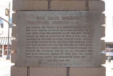
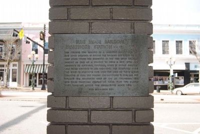
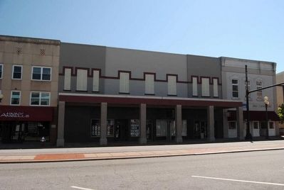
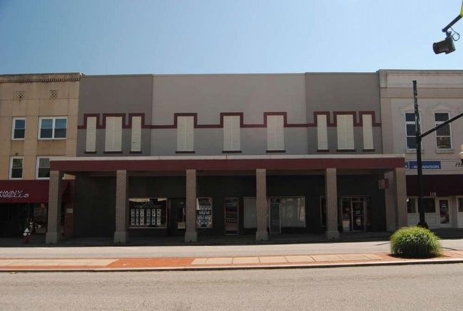
This building was erected as a passenger station for the Blue Ridge Railroad. It bridges the railroad cut under North Main Street which was excavated by the Blue Ridge Railroad Company as part of a project to build a line over the mountains to Knoxville, Tennessee, where it would connect with other railroads to the mid-west. The excavation work was done by Drawford Keys with the help of slave labor beginning in 1854. The project was abandoned in 1869, and the railroad was completed only as far as Walhalla. The Blue Ridge Passenger Station of later years was closed when passenger service was discontinued about 1945.
Erected 1976.
Topics. This historical marker is listed in these topic lists: African Americans • Railroads & Streetcars. A significant historical year for this entry is 1918.
Location. 34° 30.25′ N, 82° 39′ W. Marker is in Anderson, South Carolina, in Anderson County. Marker can be reached from North Main Street (U.S. 29), on the right when traveling north. Marker is located on a pillar facing the building. It is not visible from the road. Touch for map. Marker is at or near this postal address: 124 North Main Street, Anderson SC 29621, United States of America. Touch for directions.
Other nearby markers. At least 10 other markers are within walking distance of this marker. Fant's Book Store -- 1851 (within shouting distance of this marker); Anderson: "The Electric City" (about 300 feet away, measured in a direct line); William Church Whitner (about 300 feet away); Anderson County Court House -- 1898 (about 400 feet away); Anderson County Confederate Monument (about 400 feet away); The Four Way Test (about 400 feet away); Anderson County Law Enforcement Officers Memorial (about 400 feet away); Portman Shoals (about 500 feet away); Portman Dam and Power Plant (about 500 feet away); G.F. Tolly Building -- c. 1910 (about 500 feet away). Touch for a list and map of all markers in Anderson.
Credits. This page was last revised on June 16, 2016. It was originally submitted on May 21, 2016, by Brian Scott of Anderson, South Carolina. This page has been viewed 727 times since then and 77 times this year. Photos: 1, 2, 3, 4, 5. submitted on May 21, 2016, by Brian Scott of Anderson, South Carolina.
