Jamestown in Chautauqua County, New York — The American Northeast (Mid-Atlantic)
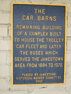
The Car Barns
Car Barns
Remaining building
of a complex built
to house the trolley
car fleet and later
the buses which
served the Jamestown
area from 1884 to 1976.
Erected 2002 by Jamestown Historical Marker Committee.
Topics. This historical marker is listed in this topic list: Railroads & Streetcars. A significant historical year for this entry is 1884.
Location. 42° 5.703′ N, 79° 15.031′ W. Marker is in Jamestown, New York, in Chautauqua County. Marker is on West 3rd Street, 0.2 miles west of West 4th Street, on the right when traveling west. Touch for map. Marker is at or near this postal address: 560 West 3rd Street, Jamestown NY 14701, United States of America. Touch for directions.
Other nearby markers. At least 8 other markers are within walking distance of this marker. West Third Street Bridge (a few steps from this marker); James Prendergast (about 600 feet away, measured in a direct line); Samuel A. Carlson (approx. 0.2 miles away); First Burial Ground (approx. 0.2 miles away); The Jamestown Underground Railroad Tableau (approx. 0.2 miles away); Baker Park (approx. 0.2 miles away); Broadhead Power House (approx. ¼ mile away); Log Cabin 1810 (approx. ¼ mile away). Touch for a list and map of all markers in Jamestown.
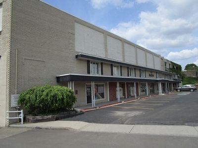
More about this marker. Marker is fixed to the Westgate professional building.
Credits. This page was last revised on June 16, 2016. It was originally submitted on May 24, 2016, by Anton Schwarzmueller of Wilson, New York. This page has been viewed 314 times since then and 15 times this year. Photos: 1, 2. submitted on May 24, 2016, by Anton Schwarzmueller of Wilson, New York.

