Georgetown in Northwest Washington in Washington, District of Columbia — The American Northeast (Mid-Atlantic)
South Lawn
Tudor Place
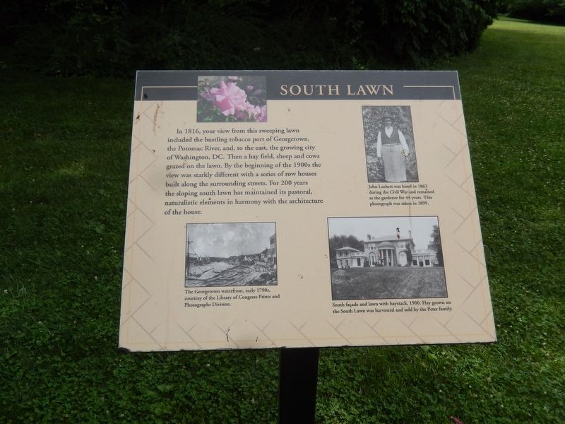
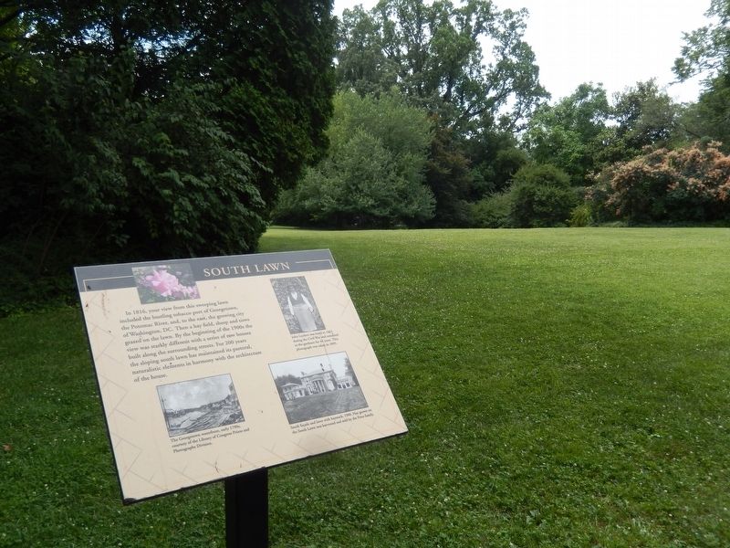
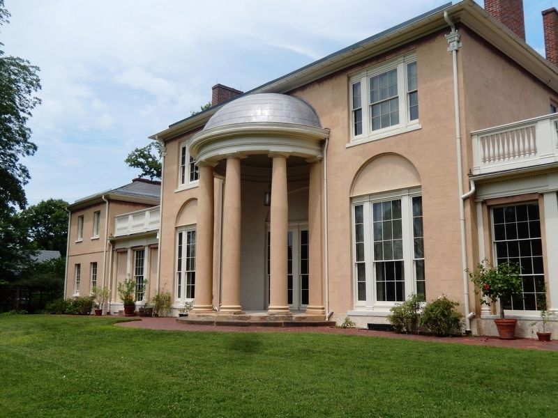
In 1816, your view from this sweeping lawn included the bustling tobacco port of Georgetown, the Potomac River, and, to the east, the growing city of Washington DC. Then a hay field, sheep and cows grazed on the law. By the beginning of the 1900s the view was starkly different with a series of row houses built along the surrounding streets. For 200 years the sloping lawn has maintained its pastoral, naturalistic elements in harmony with the architecture of the house.
[Captions:]
The Georgetown waterfront, early 1790s, courtesy of the Library of Congress Prints and Photographs Division.
John Lackett was hired in 1862 during the Civil War and remained as the gardener for 44 years. This photograph was taken in 1899.
South façade and lawn with haystack, 1900. Hay grown on the South Lawn was harvested and sold by the Peter family.
Topics and series. This historical marker is listed in this topic list: Notable Places. In addition, it is included in the National Historic Landmarks series list. A significant historical year for this entry is 1816.
Location. This marker has been replaced by another marker nearby. It was located near 38° 54.68′ N, 77° 3.77′ W. Marker was in Northwest Washington in Washington, District of Columbia. It was in Georgetown. Marker could be reached from 31st Street Northwest south of Avon Lane Northwest, on the right when traveling south. This marker is to the left side of the south lawn and faces the South façade of the Tudor Place Mansion. Touch for map. Marker was at or near this postal address: 1644 31st Street Northwest, Washington DC 20007, United States of America. Touch for directions.
Other nearby markers. At least 8 other markers are within walking distance of this location. A different marker also named South Lawn (a few steps from this marker); Watching the Flames (within shouting distance of this marker); Kitchen Yard (within shouting distance of this marker); Garage (within shouting distance of this marker); East Lawn (within shouting distance of this marker); Box Knot (within shouting distance of this marker); Cold Frames (about 300 feet away, measured in a direct line); The Presbyterian Congregation in George Town (about 700 feet away). Touch for a list and map of all markers in Northwest Washington.
Related marker. Click here for another marker that is related to this marker. This marker has been replaced with the linked marker.
Photographed By Don Morfe, July 16, 2016
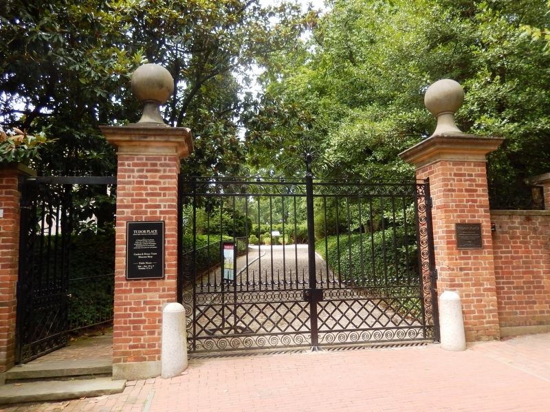
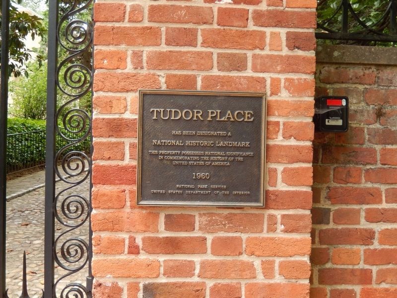
4. Tudor Place
Has been designated a National Historic Landmark. This property possesses National Significance in commemorating the history of the United States of America. 1960 National Park Service United States Department of the Interior--This plaque is mounted on the right column at the entrance gate.
Credits. This page was last revised on February 14, 2024. It was originally submitted on July 18, 2016, by Don Morfe of Baltimore, Maryland. This page has been viewed 334 times since then and 15 times this year. Photos: 1, 2, 3, 4, 5. submitted on July 18, 2016, by Don Morfe of Baltimore, Maryland. • Bill Pfingsten was the editor who published this page.
