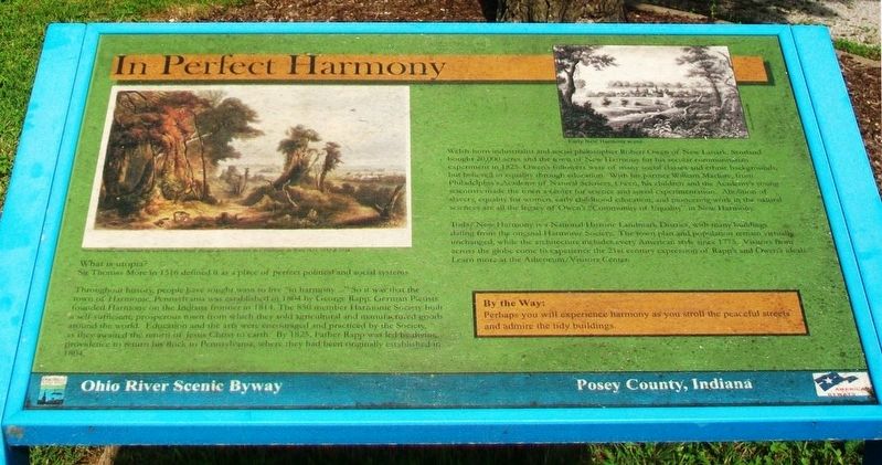
In Perfect Harmony
Ohio River Scenic Byway • Posey County, Indiana
What is utopia?
Sir Thomas More in 1516 defined it as a place of perfect political and social systems.
Throughout history, people have sought ways to live "in harmony..." So it was that the town of Harmonic, Pennsylvania was established in 1804 by George Rapp. German Pietists founded Harmony on the Indiana frontier in 1814. The 850 member Harmonic Society built a self-sufficient, prosperous town from which they sold agricultural and manufactured goods around the world. Education and the arts were encouraged and practiced by the Society, as they awaited the return of Jesus Christ to earth. By 1825, Father Rapp was led by divine providence to return his flock to Pennsylvania, where they had been originally established in 1804.
Welsh-born industrialist and social philosopher Robert Owen of New Lanark, Scotland bought 20,000 acres and the town of New Harmony for his secular communitarian experiment in 1825. Owen's followers were of many social classes and ethnic backgrounds, but believed in equality through education. With his partner William Maclure, from Philadelphia's Academy of Natural Sciences, Owen, his children and the Academy's young scientists made the town a center for science and social experimentation. Abolition of slavery, equality for women, early childhood education, and pioneering work in the natural sciences
are all the legacy of Owen's "Community of Equality" in New Harmony.Today New Harmony is a National Historic Landmark District, with many buildings dating from the original Harmonic Society. The town plan and population remain virtually unchanged, while the architecture includes every American style since 1775. Visitors from across the globe come to experience the 21st century expression of Rapp's and Owen's ideals. Learn more at the Atheneum/Visitor Center.
By the Way:
Perhaps you will experience harmony as you stroll the peaceful streets and admire the tidy buildings.
[Image captions read]
New Harmony aus Wabash by Karl Bodmer
Early New Harmony scene.
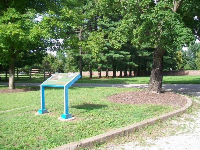
Erected by Ohio River Scenic Byway.
Topics and series. This historical marker is listed in this topic list: Settlements & Settlers. In addition, it is included in the Communal and Utopian Societies series list. A significant historical year for this entry is 1516.
Location. 38° 7.83′ N, 87° 56.344′ W. Marker is in New Harmony, Indiana, in Posey County. Marker is on Arthur Street north of Church Street, on the left when traveling north. Touch for map. Marker is in this post office area: New Harmony IN 47631, United States of America. Touch for directions.
Other nearby markers. At least 8 other markers are within walking distance of this marker. New Harmony Workingmen's Institute (approx. 0.2 miles away); New Harmony (approx.
Also see . . .
1. Historic New Harmony, Indiana. (Submitted on July 24, 2016, by William Fischer, Jr. of Scranton, Pennsylvania.)
2. Ohio River Scenic Byway. (Submitted on July 24, 2016, by William Fischer, Jr. of Scranton, Pennsylvania.)
Credits. This page was last revised on July 24, 2016. It was originally submitted on July 24, 2016, by William Fischer, Jr. of Scranton, Pennsylvania. This page has been viewed 294 times since then and 13 times this year. Photos: 1, 2. submitted on July 24, 2016, by William Fischer, Jr. of Scranton, Pennsylvania.

