Bryant in Saline County, Arkansas — The American South (West South Central)
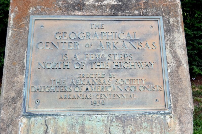
The Geographical Center of Arkansas
Geographical
Center of Arkansas
is a few steps
north of this highway
Erected by
The Arkansas Society
Daughters of American Colonists
Arkansas Centennial
1936
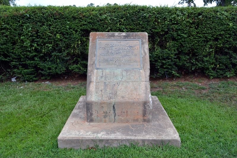
Erected 1936 by The Arkansas Society, Daughters of American Colonists.
Topics and series. This historical marker is listed in this topic list: Landmarks. In addition, it is included in the Daughters of the American Colonists series list.
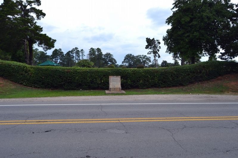
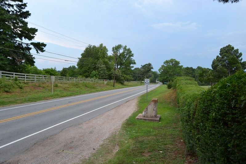
Location. 34° 38.147′ N, 92° 28.699′ W. Marker is in Bryant, Arkansas, in Saline County. Marker is on Old Stage Coach Road (State Highway 5) 0.2 miles west of Hilldale Road, on the right when traveling west. Touch for map. Marker is in this post office area: Bryant AR 72022, United States of America. Touch for directions.
Other nearby markers. At least 8 other markers are within 7 miles of this marker, measured as the crow flies. Ashley Park (approx. 3 miles away); City of Bryant (approx. 3.1 miles away); The Battle of Hurricane Creek (approx. 3˝ miles away); The Salem Campground (approx. 4.7 miles away); Confederates' Last Stand (approx. 5.8 miles away); Bauxite, Arkansas (approx. 5.9 miles away); George M. Holt / William Ayers Crawford (approx. 6˝ miles away); The Niloak Pottery (approx. 7.1 miles away). Touch for a list and map of all markers in Bryant.
Also see . . .
1. Geographical Center of Arkansas Marker. Encyclopedia of Arkansas entry (Submitted on June 4, 2017, by Cody Lynn Berry of Benton, Arkansas.)
2. Collegeville (Saline County). Encyclopedia of Arkansas entry (Submitted on June 8, 2017, by Cody Lynn Berry of Benton, Arkansas.)
Credits. This page was last revised on June 14, 2021. It was originally submitted on August 9, 2016, by Duane Hall of Abilene, Texas. This page has been viewed 606 times since then and 34 times this year. Photos: 1, 2, 3, 4. submitted on August 9, 2016, by Duane Hall of Abilene, Texas.


