Henrietta in Clay County, Texas — The American South (West South Central)
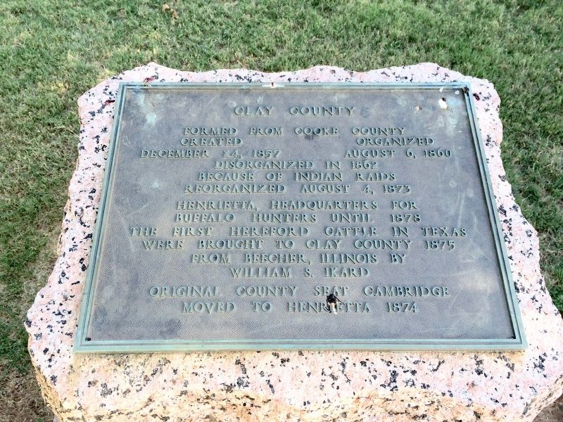
Clay County
Created December 24, 1857
Organized August 6, 1860
Disorganized in 1862
because of Indian raids
Reorganized August 4, 1873
Henrietta, headquarters for
buffalo hunters until 1878
The first Hereford cattle in Texas
were brought to Clay County 1875
from Beecher, Illinois by
William S. Ikard
Original county seat Cambridge
moved to Henrietta 1874
Erected 1936 by the State of Texas. (Marker Number 910.)
Topics and series. This historical marker is listed in these topic lists: Animals • Government & Politics • Political Subdivisions. In addition, it is included in the Texas 1936 Centennial Markers and Monuments series list. A significant historical date for this entry is August 6, 1860.
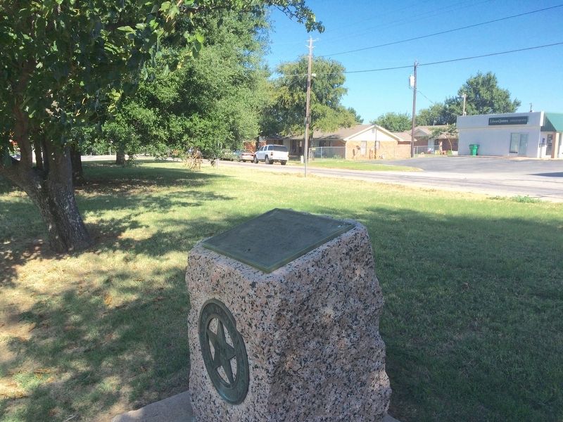
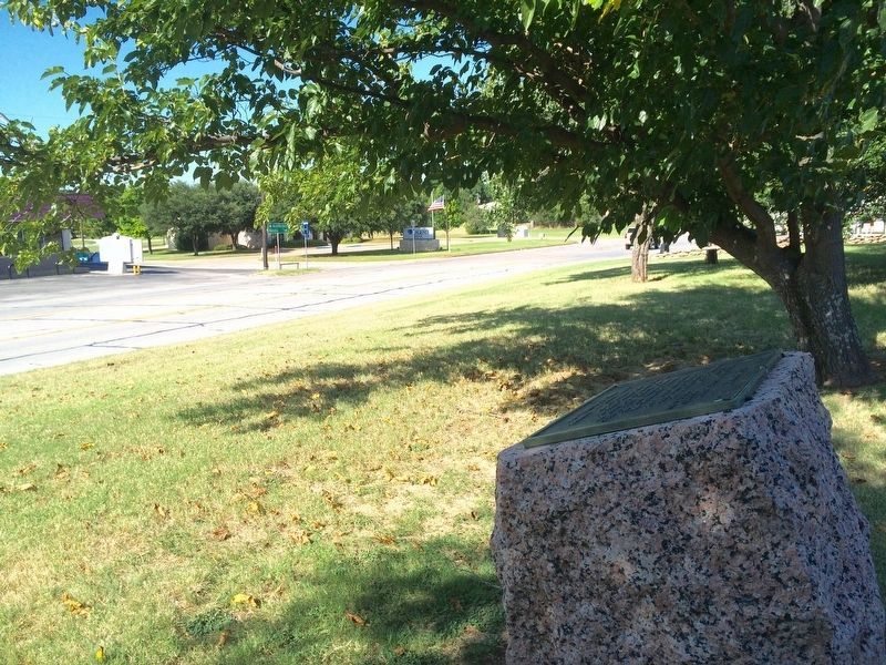
Location. 33° 48.887′ N, 98° 11.134′ W. Marker is in Henrietta, Texas, in Clay County. Marker is at the intersection of U.S. 82 and State Highway 510 Spur, on the right when traveling east on U.S. 82. Touch for map. Marker is in this post office area: Henrietta TX 76365, United States of America. Touch for directions.
Other nearby markers. At least 3 other markers are within walking distance of this marker. Cambridge (approx. 0.6 miles away); First Hereford Cattle in Texas (approx. 0.6 miles away); 1890 Clay County Jail (approx. 0.7 miles away).
Also see . . . Texas State Historical Association article about Clay County. (Submitted on August 10, 2016, by Mark Hilton of Montgomery, Alabama.)
Credits. This page was last revised on June 7, 2017. It was originally submitted on August 10, 2016, by Mark Hilton of Montgomery, Alabama. This page has been viewed 475 times since then and 27 times this year. Photos: 1, 2, 3. submitted on August 10, 2016, by Mark Hilton of Montgomery, Alabama.


