Delray Beach in Palm Beach County, Florida — The American South (South Atlantic)
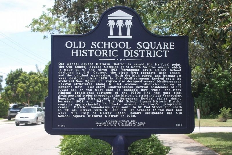
Old School Square Historic District
Old School Square Historic District is named for its focal point, the Old School Square Complex at 51 North Swinton Avenue which is made up of the circa 1913 Vernacular style Delray School designed by J.M. Cromer, the city’s first separate high school, and the original gymnasium. Both the high school and gymnasium were designed circa 1926 in the Mediterranean Revival style by architect Sam Ogren, Sr. Ogren also designed several Mediterranean Revival structures along NE 1st Avenue, otherwise known as Banker’s Row. Two-story Mediterranean Revival residences of the 1920s are on the west side of Banker’s Row while one-story Minimal Traditional cottages of the 1930s line the east side. Architectural styles throughout the historic district include Vernacular, Bungalow, and Mission and Mediterranean Revival styles dating between 1902 and 1945. The Old School Square Historic District contains approximately 15 blocks around the town’s geographic center. District boundaries span south to SE 2nd Street and north to NE 4th Street with NE and NW 1st Avenues to the east and west. The City of Delray Beach locally designated the Old School Square Historic District in 1988.
Erected 2009 by The City of Delray Beach and the Florida Department of State. (Marker Number F-669.)
Topics. This historical marker is listed in these topic lists: Architecture • Settlements & Settlers. A significant historical year for this entry is 1913.
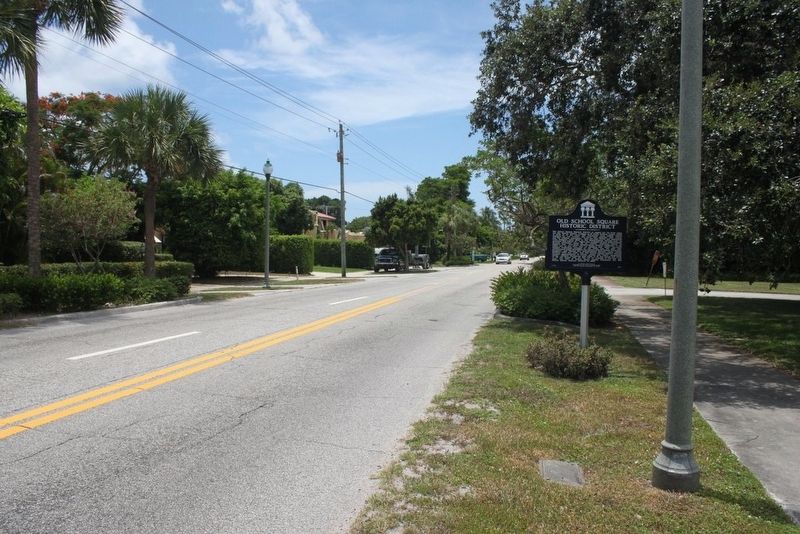
Location. 26° 28.114′ N, 80° 4.399′ W. Marker is in Delray Beach, Florida, in Palm Beach County. Marker is on North Swinton Avenue just south of Northeast 4th Street, on the left when traveling north. Touch for map. Marker is in this post office area: Delray Beach FL 33444, United States of America. Touch for directions.
Other nearby markers. At least 8 other markers are within walking distance of this marker. Del-Ida Park Historic District (about 600 feet away, measured in a direct line); West Settlers Historic District (approx. 0.3 miles away); Cason Cottage (approx. 0.3 miles away); a different marker also named Del-Ida Park Historic District (approx. 0.4 miles away); Florida East Coast Railway Station (approx. 0.4 miles away); Delray History (approx. half a mile away); City of Delray Beach (approx. half a mile away); a different marker also named West Settlers Historic District (approx. half a mile away). Touch for a list and map of all markers in Delray Beach.
Credits. This page was last revised on March 4, 2018. It was originally submitted on August 18, 2016, by Tim Fillmon of Webster, Florida. This page has been viewed 473 times since then and 28 times this year. Photos: 1, 2. submitted on August 18, 2016, by Tim Fillmon of Webster, Florida. • Bernard Fisher was the editor who published this page.

