Letcher in Letcher County, Kentucky — The American South (East South Central)
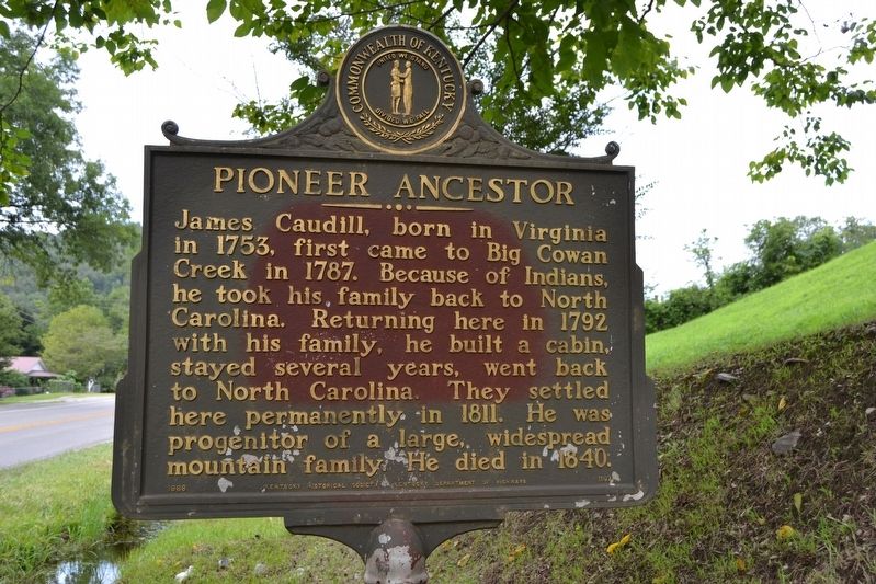
Pioneer Ancestor
Erected 1968 by Kentucky Historical Society, Kentucky Department of Highways. (Marker Number 1197.)
Topics and series. This historical marker is listed in this topic list: Settlements & Settlers. In addition, it is included in the Kentucky Historical Society series list. A significant historical year for this entry is 1753.
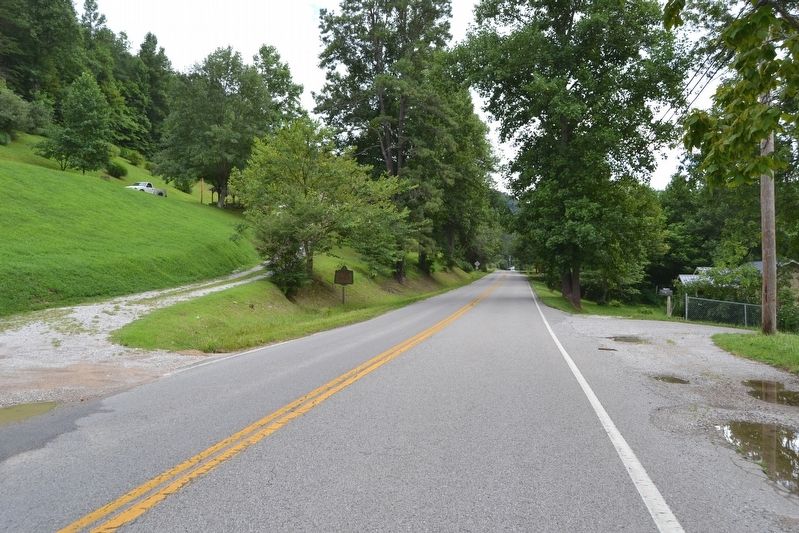
Location. 37° 9.067′ N, 82° 56.552′ W. Marker is in Letcher, Kentucky, in Letcher County. Marker is on State Highway 7, 0.1 miles south of Kaleb Baker Drive, on the left when traveling south. Touch for map. Marker is in this post office area: Letcher KY 41832, United States of America. Touch for directions.
Other nearby markers. At least 8 other markers are within 9 miles of this marker, measured as the crow flies. Wreck at the Bridge (approx. 0.4 miles away); County Named, 1842 (approx. 3.7 miles away); Carr Creek Center (approx. 5.7 miles away); Pilot -- Spy -- Hero / Francis Gary Powers (approx. 6.8 miles away); Letcher County Honor Roll (approx. 6.8 miles away); Scuttle Hole Gap Road (approx. 7.4 miles away); Kingdom Come (approx. 7.4 miles away); Salt Works (approx. 8.3 miles away).
Also see . . . James Caudill, Jr - findagrave.com. (Submitted on August 21, 2016.)
Additional commentary.
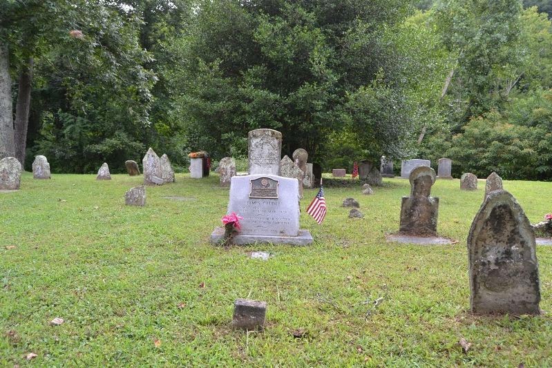
1. Grave Site of James Caudill
James Caudill is buried in a small cemetery located 300 feet west of the marker. The cemetery may be reached from the driveway located across Highway 7 from the marker. The link in the Also See ... section is his grave record as catalogued in findagrave.com.
— Submitted August 21, 2016.
Credits. This page was last revised on August 21, 2016. It was originally submitted on August 21, 2016, by Duane Hall of Abilene, Texas. This page has been viewed 812 times since then and 64 times this year. Photos: 1, 2, 3. submitted on August 21, 2016, by Duane Hall of Abilene, Texas.


