Sarasota in Sarasota County, Florida — The American South (South Atlantic)
St. Martha Mission Church
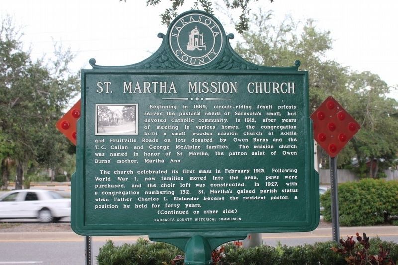
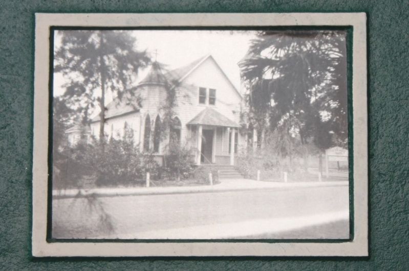
Beginning in 1889, circuit-riding Jesuit priests served the pastoral needs of Sarasota's small, but devoted Catholic community. In 1912, after years of meeting in various homes, the congregation built a small wooden mission church at Adelia and Fruitville Roads on lots donated by Owen Burns and the T.C. Callan and George McAlpine families. The mission church was named in honor of St. Martha, the patron saint of Owen Burns' mother, Martha Ann.
The church celebrated its first mass in February 1913. Following World War I, new families moved into the area, pews were purchased, and the choir loft was constructed. In 1927, with a congregation numbering 132, St. Martha's gained parish status when Father Charles L. Elslander became the resident pastor, a position he held for forty years.
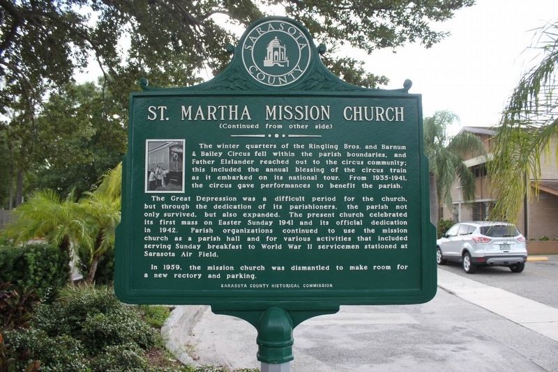
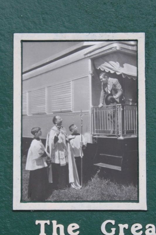
The Great Depression was a difficult period for the church, but through the dedication of its parishioners, the parish not only survived, but also expanded. The present church celebrated its first mass on Easter Sunday 1941 and its official dedication in 1942. Parish organizations continued to use the mission church as a parish hall and for various activities that included serving Sunday breakfast to World War II servicemen stationed at Sarasota Air Field.
In 1959, the mission church was dismantled to make room for a new rectory and parking.
Erected 2009 by Sarasota County Historical Commission.
Topics. This historical marker is listed in this topic list: Churches & Religion. A significant historical year for this entry is 1912.
Location. 27° 20.326′ N, 82° 32.253′ W. Marker is in Sarasota, Florida, in Sarasota County. Marker is at the intersection of Fruitville Road (State Road 780) and Adelia Avenue, on the right when traveling east on Fruitville Road. Touch for map. Marker is in this post office area: Sarasota FL 34236, United States of America. Touch for directions.
Other nearby markers. At least 8 other markers are within walking distance of this marker. Seaboard Railway Depot (approx. ¼ mile away); Worth's Block (approx. ¼ mile away); Paul N. Thorpe Jr. Park (approx. 0.3 miles away); Methodist Church (approx. 0.3 miles away); First Black Community (approx. 0.3 miles away); City of Sarasota (approx. 0.4 miles away); John D. MacDonald 1916-1986/John D. and the Friday Liars (approx. 0.4 miles away); Charles Ringling Building (approx. 0.4 miles away). Touch for a list and map of all markers in Sarasota.
Credits. This page was last revised on June 21, 2018. It was originally submitted on August 21, 2016, by Tim Fillmon of Webster, Florida. This page has been viewed 353 times since then and 25 times this year. Photos: 1, 2, 3, 4, 5. submitted on August 21, 2016, by Tim Fillmon of Webster, Florida. • Bernard Fisher was the editor who published this page.


