Chalmette in St. Bernard Parish, Louisiana — The American South (West South Central)
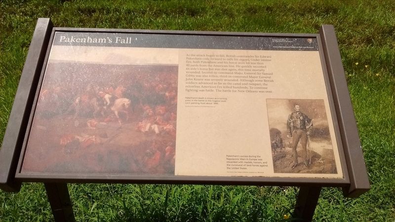
Pakenham's Fall
Jean Lafitte National Historical Park and Preserve
As the attack began to fail, British commander Sir Edward Pakenham rode forward to rally his troops. Under intense fire, both Pakenham and his horse were hit less than 40 yards from the American line. He quickly mounted an aide's horse but was shot again, this time mortally wounded. Second-in-command Major General Sir Samuel Gibbs was also killed; third-in-command Major General John Keane was severely wounded. Although some British soldiers advanced as far as the canal and rampart, the relentless American fire killed hundreds. To continue fighting was futile. The battle for New Orleans was over.
(captions)
Pakenham's death is shown as a turning point in the battle in this Eugene Louis Lami painting from about 1840.
Pakenham's success during the Napoleonic Wars in Europe was rewarded with medals, honors, and the command of land forces against the United States.
Erected by National Park Service - United States Department of the Interior.
Topics. This historical marker is listed in this topic list: War of 1812. A significant historical year for this entry is 1815.
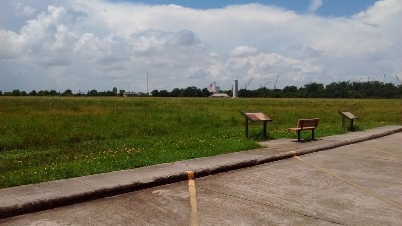
Location. 29° 56.657′ N, 89° 59.362′ W. Marker is in Chalmette, Louisiana, in St. Bernard Parish. Marker is on Tour Loop Road, 0.2 miles Battlefield Road, on the left when traveling west. The Chalmette National Park Scenic Road, or Tour Loop Road, is located within the Chalmette Battlefield portion of the Jean Lafitte National Historical Park and Preserve. Touch for map. Marker is in this post office area: Chalmette LA 70043, United States of America. Touch for directions.
Other nearby markers. At least 8 other markers are within walking distance of this marker. The Main Attack (here, next to this marker); Roads and Ditches (approx. 0.2 miles away); Here We Honor Veterans Who Served Their Country (approx. 0.2 miles away); Chalmette National Cemetery (approx. 0.2 miles away); Serving Those Who Saved Us (approx. 0.2 miles away); a different marker also named Chalmette National Cemetery (approx. 0.2 miles away); Batteries Seven and Eight (approx. 0.2 miles away); Batteries Five and Six (approx. 0.2 miles away). Touch for a list and map of all markers in Chalmette.
Also see . . .
1. Chalmette Battlefield. NPS Jean Lafitte National Historical Park and Preserve website entry (Submitted on August 23, 2016, by Tom Bosse of Jefferson City, Tennessee.)
2. Sir Edward Pakenham. NPS website entry (Submitted on August 23, 2016, by Tom Bosse of Jefferson City, Tennessee.)
Credits. This page was last revised on January 12, 2022. It was originally submitted on August 23, 2016, by Tom Bosse of Jefferson City, Tennessee. This page has been viewed 540 times since then and 40 times this year. Photos: 1, 2. submitted on August 23, 2016, by Tom Bosse of Jefferson City, Tennessee. • Bernard Fisher was the editor who published this page.

