Tangier in Accomack County, Virginia — The American South (Mid-Atlantic)
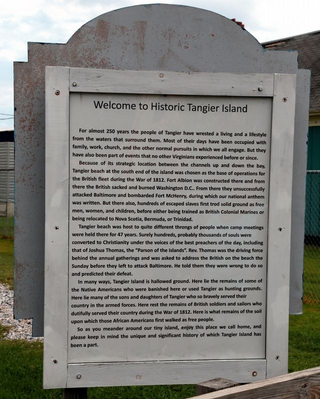
Welcome To Historic Tangier Island
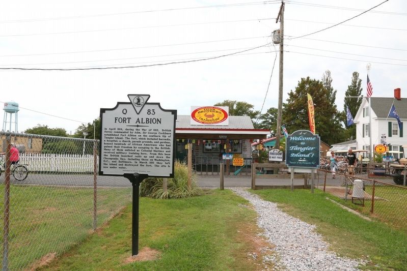
Because of its strategic location between the channels up and down the bay Tangier beach at the south end of the island was chosen as the base of operations for the British fleet during the war of 1812. Fort Albion was constructed there and from there the British sacked and burned Washington D.C.. From there they unsuccessfully attacked Baltimore and bombarded Fort McHenry, during which our national anthem was written. But there also, hundreds of escaped slaves first trod solid ground as free men, women, and children, before either being trained as British Colonial Marines or being relocated to Nova Scotia, Bermuda, or Trinidad.
Tangier beach was host to quite different throngs of people when camp meetings were held there for 47 years. Surely hundreds, probably thousands of souls were converted to Christianity under the voices of the best preachers of the day, including that of Joshua Thomas, the “Parson of the islands.” Rev. Thomas was the driving force behind the annual gatherings and was asked to address the British on the beach the Sunday before they left to attack Baltimore. He told them they were wrong to do so and predicted their defeat.
In many ways, Tangier lsland is hallowed ground. Here lie the remains of some of the Native Americans who were banished here or used Tangier as hunting grounds. Here lie many of the sons and daughters of Tangier who so bravely served their country in the armed forces. Here rest the remains of British soldiers and sailors who dutifully served their country during the War of 1812. Here is what remains of the soil upon which those African Americans first walked as free people.
So as you meander around our tiny island, enjoy this place we call home, and please keep in mind the unique and significant history of which Tangier island has been a part.
Topics. This historical marker is listed in these topic lists: African Americans • War of 1812. A significant historical year for this entry is 1812.
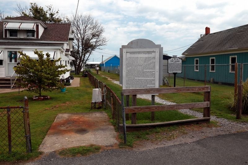
Location. 37° 49.7′ N, 75° 59.542′ W. Marker is in Tangier, Virginia, in Accomack County. Marker is at the intersection of Main Ridge Road and Thomas Road on Main Ridge Road. It is behind the Welcome to Tangier Island sign on the path (Thomas Road) from the ferry docks to Main Ridge Road. Touch for map. Marker is in this post office area: Tangier VA 23440, United States of America. Touch for directions.
Other nearby markers. At least 8 other markers are within walking distance
of this marker. Ice Cream Stand (a few steps from this marker); Fort Albion (a few steps from this marker); Former Site of New Testament Congregation (within shouting distance of this marker); Daley's Grocery (within shouting distance of this marker); Fisherman's Corner (within shouting distance of this marker); Chambers Lane (within shouting distance of this marker); The Double Six (within shouting distance of this marker); Methodist Parsonage (about 300 feet away, measured in a direct line). Touch for a list and map of all markers in Tangier.
Credits. This page was last revised on September 12, 2016. It was originally submitted on September 12, 2016, by J. J. Prats of Powell, Ohio. This page has been viewed 385 times since then and 23 times this year. Photos: 1, 2, 3. submitted on September 12, 2016, by J. J. Prats of Powell, Ohio.


