Oldtown in Allegany County, Maryland — The American Northeast (Mid-Atlantic)
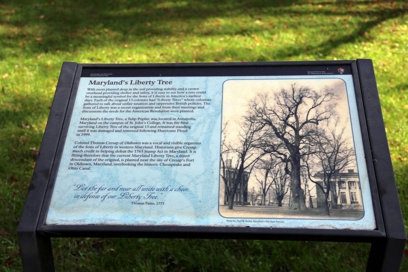
Marylandís Liberty Tree
Chesapeake and Ohio Canal National Historical Park
ó National Park Service, U.S. Department of the Interior ó
Marylandís Liberty Tree, a Tulip Poplar, was located in Annapolis, Maryland on the campus of St. John's College. It was the final surviving Liberty Tree of the original 13 and remained standing until it was damaged and removed following Hurricane Floyd in 1999.
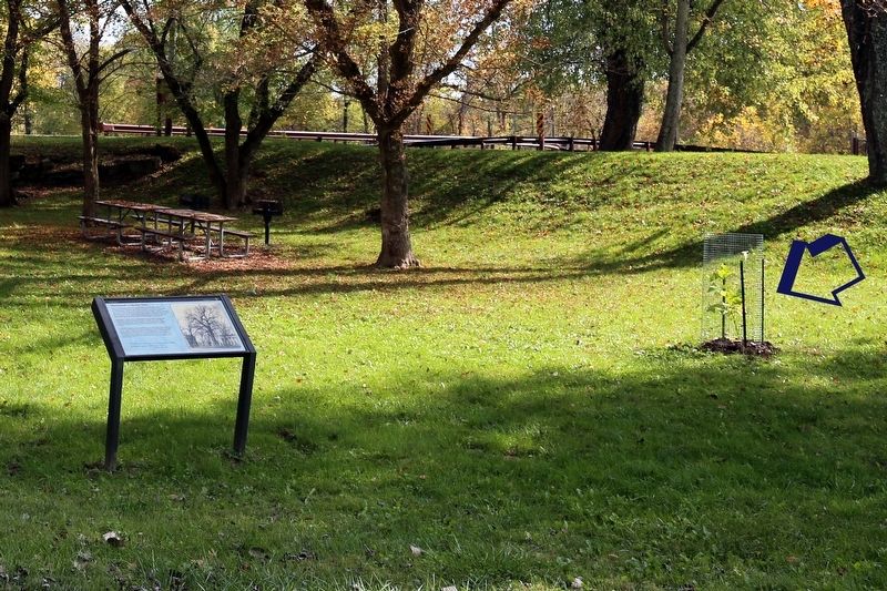
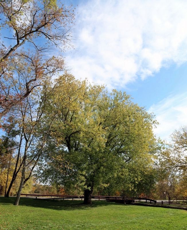
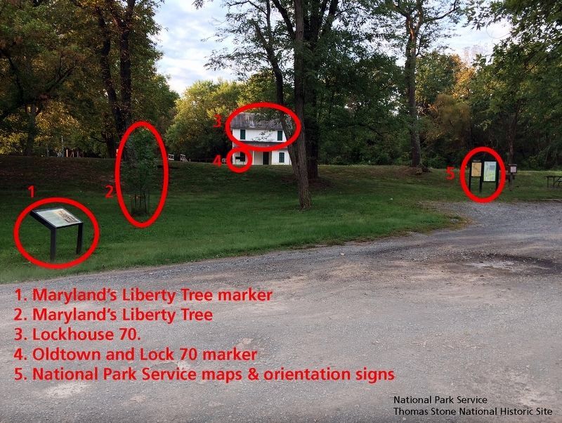
Colonel Thomas Cresap of Oldtown was a vocal and visible organizer of the Sons of Liberty in western Maryland. Historians give Cresap much credit in helping defeat the 1765 Stamp Act in Maryland. It is fitting therefore that the current Maryland Liberty Tree, a direct descendant of the original, is planted near the site of Cresap's Fort in Oldtown, Maryland, overlooking the historic Chesapeake and Ohio Canal.
“Let the far and near all unite with a cheer, in defense of our Liberty Tree.” —Thomas Paine, 1775
Erected by National Park Service, U.S. Department of the Interior.
Topics. This historical marker is listed in these topic lists: Patriots & Patriotism • War, US Revolutionary. A significant historical year for this entry is 1775.
Location. 39° 32.415′ N, 78° 36.728′ W. Marker is in Oldtown, Maryland, in Allegany County. Marker is on Green Spring Road just north of C&O Canal Towpath, on the right when traveling south. Touch for map. Marker is in this post office area: Oldtown MD 21555, United States of America. Touch for directions.
Other nearby markers. At least 8 other markers are within 4 miles of this marker, measured as the crow flies. Oldtown and Lock 70 (within shouting distance of this marker); Michael Cresap (about 600 feet away, measured in a direct line); In Memory Of Col. Thomas Cresap (approx. 0.2 miles away); Memorial (approx. 0.2 miles away); Old Town (approx. 0.3 miles away); VFW Post 9451 Memorial (approx. 0.6 miles away); McCausland's Raid (approx. ĺ mile away); Turner Ashbyís Attack (approx. 3.7 miles away). Touch for a list and map of all markers in Oldtown.
Also see . . .
1. Liberty Tree Public Comment Document. “The location for Maryland's Liberty Tree is within the C&O Canal NHP at Oldtown, the site of Colonel Thomas Cresapís stockade home. Col. Cresap was instrumental in the early westward movement. It was at his home, in 1748, that a 16 year old George Washington spent four days while on a survey expedition.” (Submitted on October 28, 2016, by J. J. Prats of Powell, Ohio.)
2. History & Culture, Chesapeake & Ohio National Historical Park, National Park Service. (Submitted on September 23, 2019.)
Credits. This page was last revised on October 7, 2019. It was originally submitted on October 28, 2016, by J. J. Prats of Powell, Ohio. This page has been viewed 662 times since then and 57 times this year. Photos: 1, 2, 3. submitted on October 28, 2016, by J. J. Prats of Powell, Ohio. 4. submitted on September 23, 2019.


