Gold Hill in Jackson County, Oregon — The American West (Northwest)
Rock Point, Oregon
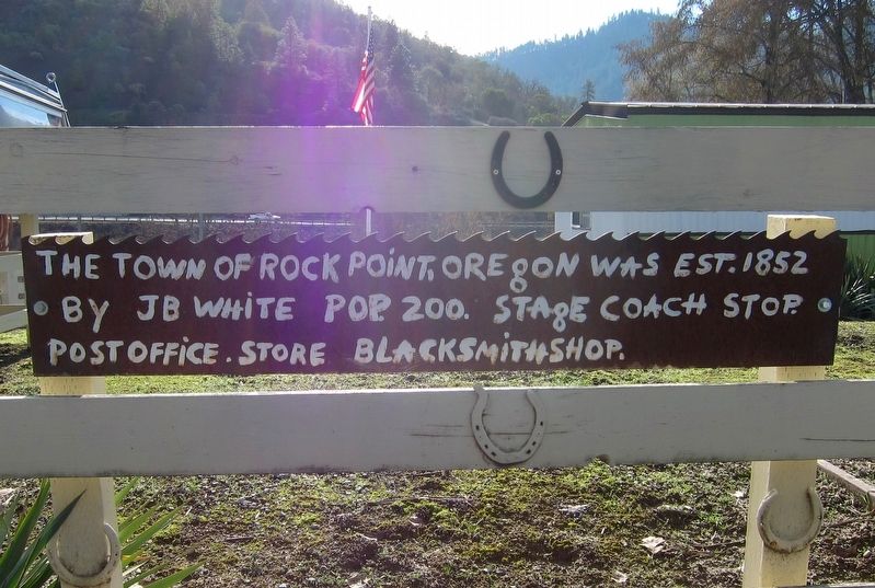
The town of Rock Point, Oregon was est. 1852
by JB White Pop. 200. Stage coach stop.
Post office. Store Blacksmithshop.
Topics. This historical marker is listed in this topic list: Settlements & Settlers.
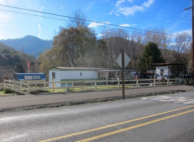
Location. 42° 25.967′ N, 123° 5.536′ W. Marker is in Gold Hill, Oregon, in Jackson County. Marker is on North River Road west of Oregon Route 99. Touch for map. Marker is at or near this postal address: 101 North River Road, Gold Hill OR 97525, United States of America. Touch for directions.
Other nearby markers. At least 8 other markers are within 3 miles of this marker, measured as the crow flies. Rock Point Hotel (within shouting distance of this marker); Rock Point Bridge (about 500 feet away, measured in a direct line); Safety Follows Wisdom (approx. 0.4 miles away); City of Gold Hill (approx. 2.2 miles away); Valley of the Rogue Applegate Trail Kiosk (approx. 2.4 miles away); Dardanelles (approx. 2.6 miles away); The Salmon Ceremony at Ti'lomikh Falls (approx. 2.6 miles away); a different marker also named The Salmon Ceremony at Ti'lomikh Falls (approx. 2.7 miles away). Touch for a list and map of all markers in Gold Hill.
Regarding Rock Point, Oregon. Rock Point post office began at the first postmaster John B. White's store on the north side of the Rogue two miles W of Gold Hill. Known to early settlers as "Point of Rocks," the settlement was an important stage stop with a ferry across the river. The Rogue was spanned by a plank bridge in the early 1860s and a covered bridge in the 1870s. Mail posted at Rock Point went by stage south to Jacksonville or west through Grants Pass to Roseburg for distribution. Rock Point lost the railroad station competition to Gold Hill and finally its post office in 1912. The old stage stop/hotel is now a winery tasting room.
Credits. This page was last revised on April 19, 2022. It was originally submitted on October 31, 2016, by Andrew Ruppenstein of Lamorinda, California. This page has been viewed 642 times since then and 49 times this year. Photos: 1, 2. submitted on October 31, 2016, by Andrew Ruppenstein of Lamorinda, California.

