Ozark in Christian County, Missouri — The American Midwest (Upper Plains)
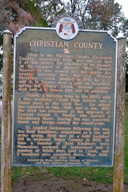
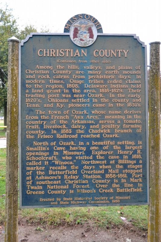
Christian County
Ozark, a thriving town in the 1850’s with a fine academy, Ozark High School, was a Union post in the Civil War. An attack was repulsed in Aug., 1862, and in Jan., 1863, the town was evacuated at the approach of General Joseph O. Shelby who burned a blockhouse there. During the war, guerrilla bands and troops raided the countryside.
To combat lawlessness following the war, the Bald Knobbers, organized as a law and order group, first met on a bald knobbed hill in adjacent Taney County in 1885. In time a number of Bald Knobbers were themselves accused of lawlessness and a number of trials were held in Ozark, and 3 members were executed there, May, 1889.
Among the hills, valleys, and plains of Christian County are many earth mounds and rock cairns from prehistoric days. In modern times, Osage tribes ceded claims to the region, 1808. Delaware Indians held a land grant in the area, 1818-1829. Their trading post was near Ozark. In the early 1820’s, Ohioans settled in the county and Tenn. and Ky. pioneers came in the 1830’s.
The town of Ozark, whose name derives from the French “Aux Arcs,” meaning in the country of the Arkansas, serves a tomato, fruit, livestock, dairy, and poultry farming county. In 1883 the Chadwick branch of the Frisco Railroad reached Ozark.
North of Ozark, in a beautiful setting, is Smallin’s Cave having one of the largest openings in Missouri. Explorer Henry B. Schoolcraft, who visited the cave in 1818, called it “Winoca.” Northwest at Billings a marker recalls the days when the stages of the Butterfield Overland Mail stopped at Ashmore’s Relay Station, 1858-1861. Part of southeast Christian County is in Mark Twain National Forest. Over the line in Greene County is Wilson’s Creek Battlefield.
Erected 1958 by State Historical Society of Missouri and State Highway Commission.
Topics and series. This historical marker is listed in this topic list: Settlements & Settlers. In addition, it is included in the Missouri, The State Historical Society of series list. A significant historical year for this entry is 1859.
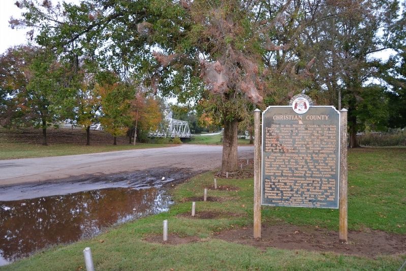
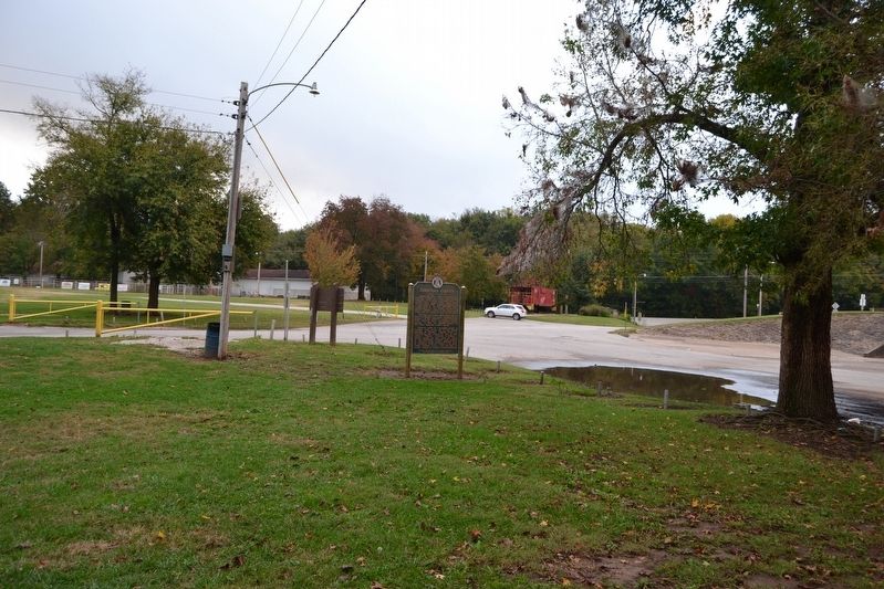
Location. 37° 1.647′ N, 93° 12.369′ W. Marker is in Ozark, Missouri, in Christian County. Marker can be reached from N. 3rd Street north of W. McCracken Road. Marker is located in Finley River Park; the above directions are to the park entrance nearest to the marker. Touch for map. Marker is in this post office area: Ozark MO 65721, United States of America. Touch for directions.
Other nearby markers. At least 8 other markers are within 7 miles of this marker, measured as the crow flies. Baldknobbers Hanging (approx. half a mile away); Commercial Block (approx. half a mile away); Commercial Building (approx. half a mile away); Veterans Memorial (approx. half a mile away); Jackie Marie Stiles (approx. 6.4 miles away); William Payne Stewart (approx. 6.4 miles away); Jack Buck (approx. 6.4 miles away); John Q. Hammons (approx. 6.4 miles away). Touch for a list and map of all markers in Ozark.
Credits. This page was last revised on November 18, 2016. It was originally submitted on November 18, 2016, by Duane Hall of Abilene, Texas. This page has been viewed 689 times since then and 47 times this year. Photos: 1, 2, 3, 4. submitted on November 18, 2016, by Duane Hall of Abilene, Texas.


