Near Wellington in Collingsworth County, Texas — The American South (West South Central)
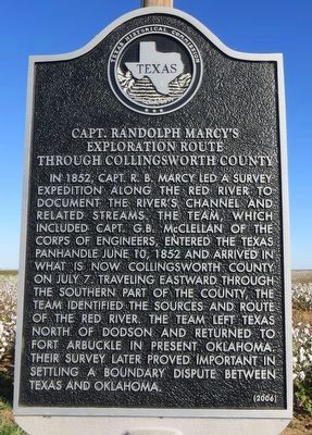
Capt. Randolph Marcy's Exploration Route through Collingsworth County
Inscription.
In 1852, Capt. R.B. Marcy led a survey expedition along the Red River to document the river's channel and related streams. The team, which included Capt. G.B. McLellan of the Corps of Engineers, entered the Texas panhandle June 10, 1852 and arrived in what is now Collingsworth County on July 7. Traveling eastward through the southern part of the county, the team identified the sources and route of the Red River. The team left Texas north of Dodson and returned to Fort Arbuckle in present Oklahoma. Their survey later proved important in settling a boundary dispute between Texas and Oklahoma.
Erected 2006 by Texas Historical Commission. (Marker Number 13474.)
Topics. This historical marker is listed in this topic list: Exploration. A significant historical date for this entry is June 10, 1852.
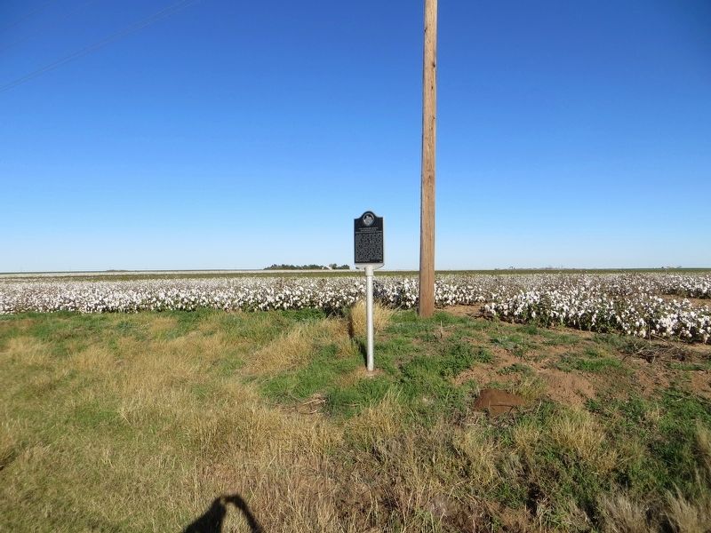
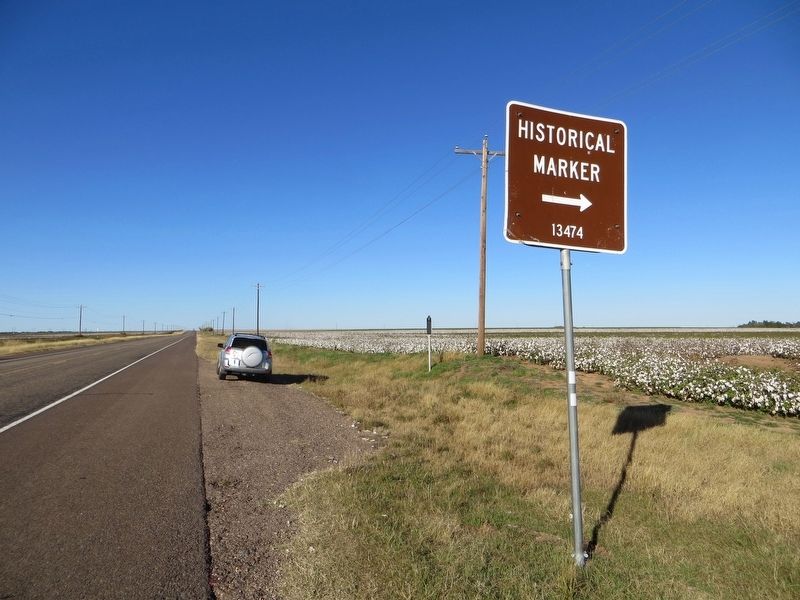
Location. 34° 48.597′ N, 100° 12.304′ W. Marker is near Wellington, Texas, in Collingsworth County. Marker is on U.S. 83, 2 miles south of Wellington, on the right when traveling north. Touch for map. Marker is in this post office area: Wellington TX 79095, United States of America. Touch for directions.
Other nearby markers. At least 8 other markers are within 11 miles of this marker, measured as the crow flies. Collingsworth County Hospital (approx. 2.7 miles away); O'Neil Building (approx. 3.2 miles away); Methodism in Collingsworth County (approx. 3.2 miles away); First Methodist Church of Wellington (approx. 3.2 miles away); Collingsworth County (approx. 5.7 miles away); Quanah Parker Trail (approx. 10.4 miles away); Rocking Chair "Ranche" (approx. 10.4 miles away); The Red River Plunge of Bonnie and Clyde (approx. 10.4 miles away). Touch for a list and map of all markers in Wellington.
Credits. This page was last revised on December 6, 2016. It was originally submitted on December 6, 2016, by Bill Kirchner of Tucson, Arizona. This page has been viewed 931 times since then and 90 times this year. Photos: 1, 2, 3. submitted on December 6, 2016, by Bill Kirchner of Tucson, Arizona.


