Near Adamstown in Frederick County, Maryland — The American Northeast (Mid-Atlantic)
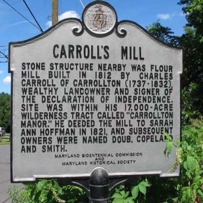
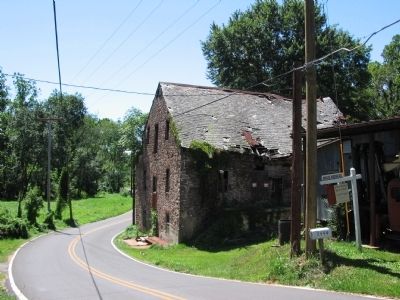
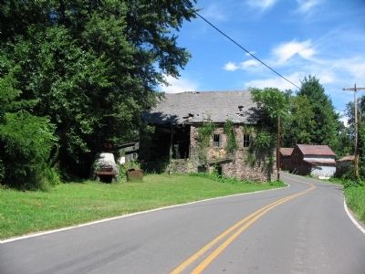
Carroll's Mill
Erected by Maryland Bicentennial Commission and Maryland Historical Society.
Topics. This historical marker is listed in this topic list: Industry & Commerce. A significant historical year for this entry is 1812.
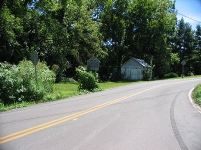
Location. 39° 18.13′ N, 77° 29.237′ W. Marker is near Adamstown, Maryland, in Frederick County. Marker is at the intersection of Pleasant View Road and Doubs Road, on the right when traveling east on Pleasant View Road. Touch for map. Marker is in this post office area: Adamstown MD 21710, United States of America. Touch for directions.
Other nearby markers. At least 8 other markers are within 4 miles of this marker, measured as the crow flies. Carrollton Manor (approx. 2 miles away); Jackson's Command (approx. 2.6 miles away); Point of Rocks (approx. 3.2 miles away); a different marker also named Point of Rocks (approx. 3.2 miles away); George Washington (approx. 3.3 miles away); a different marker also named Point of Rocks (approx. 3.4 miles away); a different marker also named Point of Rocks (approx. 3.4 miles away); a different marker also named Point of Rocks (approx. 3.4 miles away). Touch for a list and map of all markers in Adamstown.
Credits. This page was last revised on June 16, 2016. It was originally submitted on August 18, 2008, by Craig Swain of Leesburg, Virginia. This page has been viewed 1,698 times since then and 76 times this year. Photos: 1, 2, 3, 4. submitted on August 18, 2008, by Craig Swain of Leesburg, Virginia.


