Bridgeport in Harrison County, West Virginia — The American South (Appalachia)
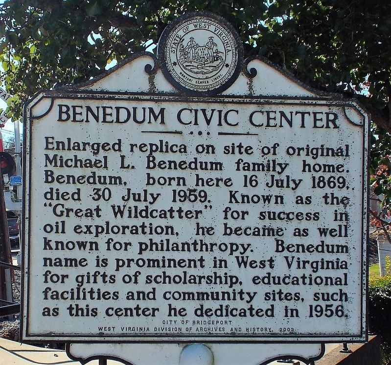
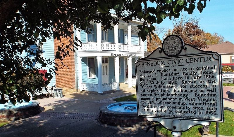
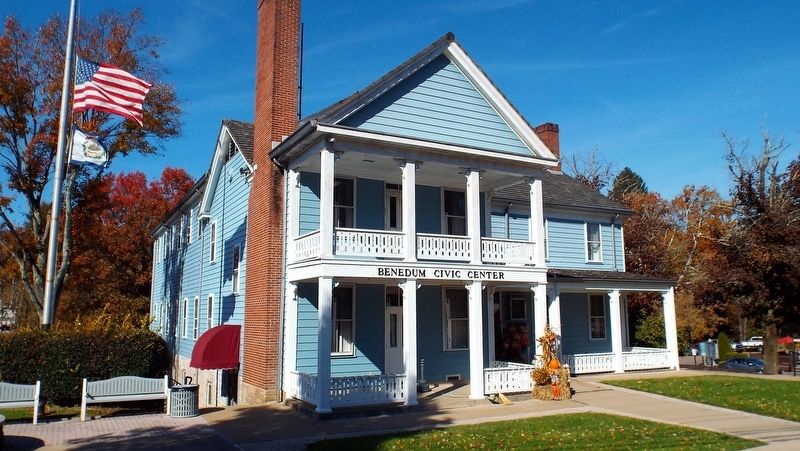
Benedum Civic Center
Erected 2002 by City of Bridgeport - West Virginia Division of Archives and History.
Topics and series. This historical marker is listed in this topic list: Industry & Commerce. In addition, it is included in the West Virginia Archives and History series list. A significant historical date for this entry is July 16, 1869.
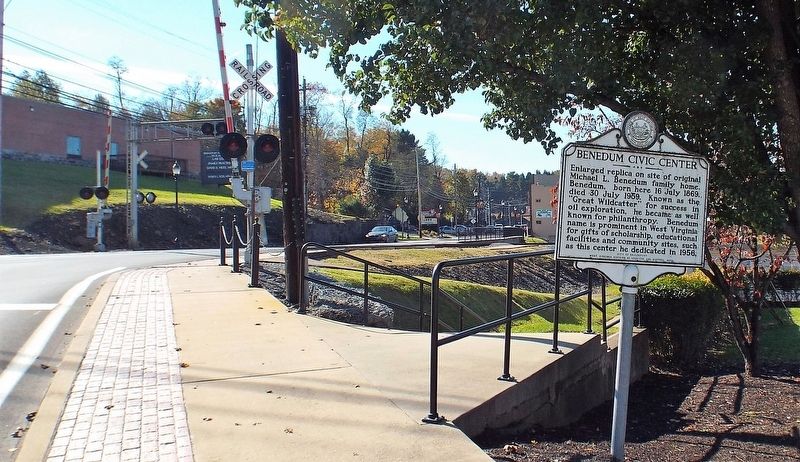
Location. 39° 17.042′ N, 80° 15.216′ W. Marker is in Bridgeport, West Virginia, in Harrison County. Marker is on Northwestern Pike (U.S. 50), on the right when traveling west. Touch for map. Marker is at or near this postal address: 171 Northwestern Pike, Bridgeport WV 26330, United States of America. Touch for directions.
Other nearby markers. At least 8 other markers are within 3 miles of this marker, measured as the crow flies. Bridgeport (approx. ¼ mile away); John Powers' Fort (approx. ¼ mile away); Bridgeport Veterans Memorial (approx. 0.4 miles away); Baptist Meeting House (approx. ¾ mile away); Old Baptist Cemetery (approx. 0.8 miles away); Combat Wounded (approx. 2.1 miles away); a different marker also named Combat Wounded (approx. 2.1 miles away); Simpson Creek Covered Bridge (approx. 2.2 miles away). Touch for a list and map of all markers in Bridgeport.
Credits. This page was last revised on November 5, 2018. It was originally submitted on November 3, 2018, by Forest McDermott of Masontown, Pennsylvania. This page has been viewed 299 times since then and 62 times this year. Photos: 1, 2, 3, 4. submitted on November 3, 2018, by Forest McDermott of Masontown, Pennsylvania. • Andrew Ruppenstein was the editor who published this page.


