Near Pasco in Franklin County, Washington — The American West (Northwest)
Ainsworth
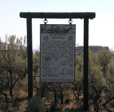
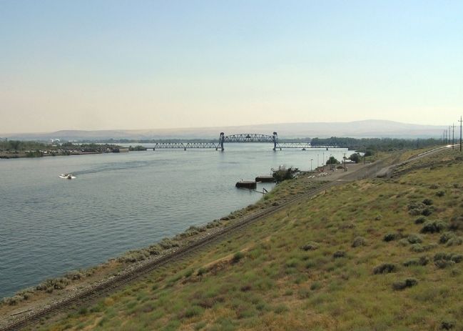
In its heyday it was a wild, lusty town, noted for brawls, gun fights and hangings. For a while a vital cog in the Northern Pacific Railroad’s extension to Puget Sound. It slowly sank into oblivion after opening of the bridge to traffic in 1884.
The town was named for John C. Ainsworth, a prominent figure in transportation circles of the early Northwest.
Erected by Washington State Highway Commission in cooperation with the State Parks and Recreation Commission. (Marker Number 37.)
Topics. This historical marker is listed in these topic lists: Railroads & Streetcars • Settlements & Settlers. A significant historical year for this entry is 1879.
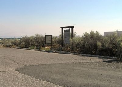
Location. 46° 13.092′ N, 119° 1.624′ W. Marker is near Pasco, Washington, in Franklin County. Marker can be reached from the intersection of Sacajawea Park Road and U.S. 12, on the left when traveling east. The marker is located in the middle of a scenic parking area on the left hand side of Sacajawea Park Road just south of US-12. Touch for map. Marker is in this post office area: Pasco WA 99301, United States of America. Touch for directions.
Other nearby markers. At least 7 other markers are within 13 miles of this marker, measured as the crow flies. Sacagawea (here, next to this marker); Lewis and Clark Trail (approx. 0.7 miles away); Here Stood Fort Nez Perce (approx. 10.8 miles away); Fort Nez Percés / Fort Walla Walla (approx. 10.8 miles away); Fort Walla Walla (approx. 10.8 miles away); The History of Wallula (approx. 12.2 miles away); a different marker also named The History of Wallula (approx. 12.2 miles away).
Credits. This page was last revised on December 16, 2020. It was originally submitted on August 17, 2010, by PaulwC3 of Northern, Virginia. This page has been viewed 1,431 times since then and 65 times this year. Photos: 1, 2, 3, 4. submitted on August 17, 2010, by PaulwC3 of Northern, Virginia.


