North Los Altos in Santa Clara County, California — The American West (Pacific Coastal)
306 Main Street
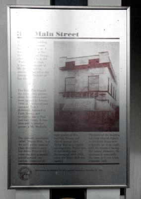
— "Shoup Hall" —
The first floor housed the town's first grocery store, believed to have been opened by January 1910. It was owned and operated by A.S. Robinson, husband of Faith Shoup, and brother-in-law of Paul and Guy Shoup. It was later sold to another grocer, a Mr. McDuffy.
The upstairs, sometimes called "Shoup Hall." was the only public meeting place available in early Los Altos. Prior to 1911, when the first grammar school opened, one teacher conducted all eight grades in this building. Scouts and church groups used Shoup Hall as a regular meeting place. Public use of the facility was discontinued after 1922, when Scout Hall was opened.
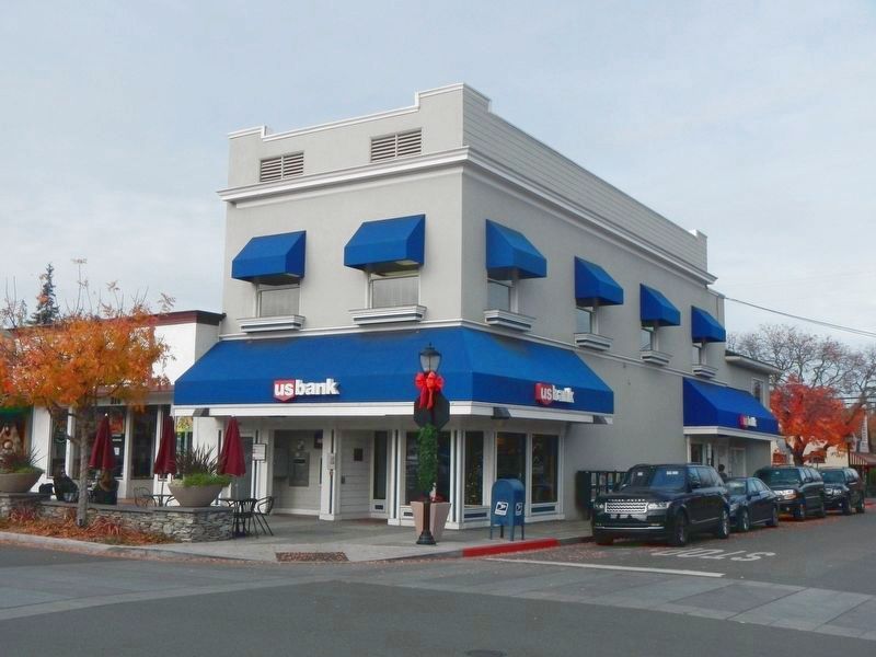
The front of the building has been altered slightly, as the front doors were originally set at an angle, with the entrance facing the corner. However, the structure is essentially the same as it was when originally built.
Erected by City of Los Altos.
Topics. This historical marker is listed in these topic lists: Industry & Commerce • Notable Buildings.
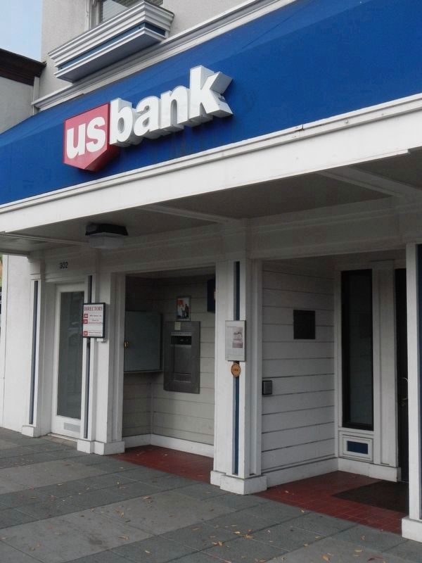
Location. 37° 22.702′ N, 122° 7.013′ W. Marker is in Los Altos, California, in Santa Clara County. It is in North Los Altos. Marker is at the intersection of Main Street and Second Street, on the left when traveling east on Main Street. Touch for map. Marker is at or near this postal address: 306 Main Street, Los Altos CA 94022, United States of America. Touch for directions.
Other nearby markers. At least 8 other markers are within 2 miles of this marker, measured as the crow flies. Los Altos Elementary School (here, next to this marker); 316 Main Street (a few steps from this marker); 398 and 388 Main Street (about 300 feet away, measured in a direct line); 395/397 Main Street (about 300 feet away); Southern Pacific Railroad Station (about 500 feet away); Site of Juana Briones de Miranda Home on Rancho La Purisima Concepcion (approx. 1.6 miles away); Birthplace of Silicon Valley (approx. 1.9 miles away); Mayfield Fire Bell (approx. 2.1 miles away). Touch for a list and map of all markers in Los Altos.
Credits. This page was last revised on February 7, 2023. It was originally submitted on December 8, 2016, by Barry Swackhamer of Brentwood, California. This page has been viewed 299 times since then and 13 times this year. Photos: 1, 2, 3. submitted on December 8, 2016, by Barry Swackhamer of Brentwood, California.


