Near Shamrock in Wheeler County, Texas — The American South (West South Central)
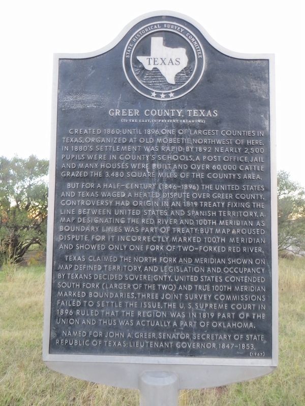
Greer County, Texas
(To the east, in present Oklahoma)
But for a half-century (1846-1896) the United States and Texas waged a heated dispute over Greer County. Controversy had origin in an 1819 treaty fixing the line between United States and Spanish territory. A map designating the Red River and 100th meridian as boundary lines was part of treaty; but map aroused dispute, for it incorrectly marked 100th meridian and showed only one fork of two-forked Red River.
Texas claimed the North Fork and meridian shown on map defined territory, and legislation and occupancy by Texans decided sovereignty. United States contended South Fork (larger of the two) and true 100th meridian marked boundaries. Three joint survey commissions failed to settle the issue. The U.S. Supreme Court in 1896 ruled that the region was in 1819 part of the Union and thus, was actually part of Oklahoma.
Named for John A. Greer, Senator, Secretary of State, Republic of Texas; Lieutenant Governor, 1847-1853.
Erected 1967 by State Historical Survey Committee. (Marker Number 2277.)
Topics. This historical marker is listed in these topic lists: Government & Politics • Settlements & Settlers. A significant historical year for this entry is 1860.
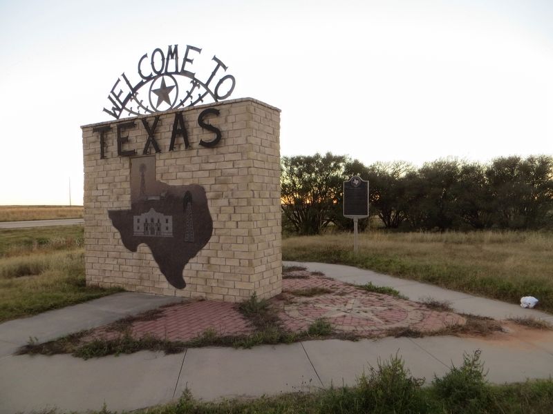
Location. 35° 13.63′ N, 100° 2.202′ W. Marker is near Shamrock, Texas, in Wheeler County. Marker is on Interstate 40 at milepost 175,, 2 miles west of Oklahoma State line, on the right when traveling west. Marker is in west bound rest area. Touch for map. Marker is in this post office area: Shamrock TX 79079, United States of America. Touch for directions.
Other nearby markers. At least 7 other markers are within 18 miles of this marker, measured as the crow flies. Will Rogers Highway (approx. 2.2 miles away in Oklahoma); Sandhills Curiosity Shop, Erick, Oklahoma (approx. 9.6 miles away in Oklahoma); Center Cemetery (approx. 10.2 miles away); Shamrock Cemetery (approx. 10.8 miles away); Needwood Cemetery (approx. 14.2 miles away); Nicholson School (approx. 15.4 miles away); Site of Lutie School (approx. 17˝ miles away).
Credits. This page was last revised on December 8, 2016. It was originally submitted on December 8, 2016, by Bill Kirchner of Tucson, Arizona. This page has been viewed 451 times since then and 44 times this year. Photos: 1, 2. submitted on December 8, 2016, by Bill Kirchner of Tucson, Arizona.

